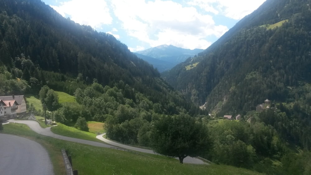
Alpencross 2012 Teil 2
Start am Karwendelhaus und erst mal bergab bis Scharnitz, weiter nach Leutasch und durch das Gaistal bis zur Ehrwalder Alm. Bergab bis Ehrwald, über den Fernpass bis nach Imst. Hier Übernachtung in Pension Weihrather. Weiter siehe Teil 3
Mapa trasy i profil wysokości
Minimum height 799 m
Maximum height 1770 m
Komentarze

GPS tracks
Trackpoints-
GPX / Garmin Map Source (gpx) download
-
TCX / Garmin Training Center® (tcx) download
-
CRS / Garmin Training Center® (crs) download
-
Google Earth (kml) download
-
G7ToWin (g7t) download
-
TTQV (trk) download
-
Overlay (ovl) download
-
Fugawi (txt) download
-
Kompass (DAV) Track (tk) download
-
Karta trasy (pdf) download
-
Original file of the author (gpx) download
Add to my favorites
Remove from my favorites
Edit tags
Open track
My score
Rate


