

Eine schwere Rennradtour duch den vorderen bayrischen Wald.
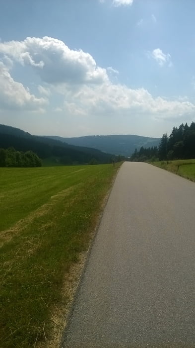
Die Strecke führt zum großen Teil auf verkehrsarmen Nebenstraßen , mit einer Ausnahme.Der Abschnitt zwischen Grün und Sankt Engelmar ( km 70 -73 ) ist sehr stark befahren.
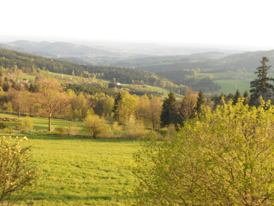
Der Steckenverlauf ist ein Auf und Ab mit wenigen flachen Passagen, dafür wird man mit schönen Ausblicken in die Donauebene und über die Hügel des Bayerwaldes belohnt.
Eine bergtaugliche Übersetzung und gute Bremsen sind zu empfehlen.
Galeria trasy
Mapa trasy i profil wysokości
Minimum height 345 m
Maximum height 895 m
More about the tour author

|
RSFGANGKOFEN |
Komentarze

Pendlerpakplatz an der A3 Deggendorf -Straubing ( Ausfahrt Bogen / Hunderdorf )
GPS tracks
Trackpoints-
GPX / Garmin Map Source (gpx) download
-
TCX / Garmin Training Center® (tcx) download
-
CRS / Garmin Training Center® (crs) download
-
Google Earth (kml) download
-
G7ToWin (g7t) download
-
TTQV (trk) download
-
Overlay (ovl) download
-
Fugawi (txt) download
-
Kompass (DAV) Track (tk) download
-
Karta trasy (pdf) download
-
Original file of the author (gpx) download
More about the tour author
|
|
RSFGANGKOFEN |
Add to my favorites
Remove from my favorites
Edit tags
Open track
My score
Rate