


Gmünd-Spittal-Goldeck-Gusenalm-Stockenboi-
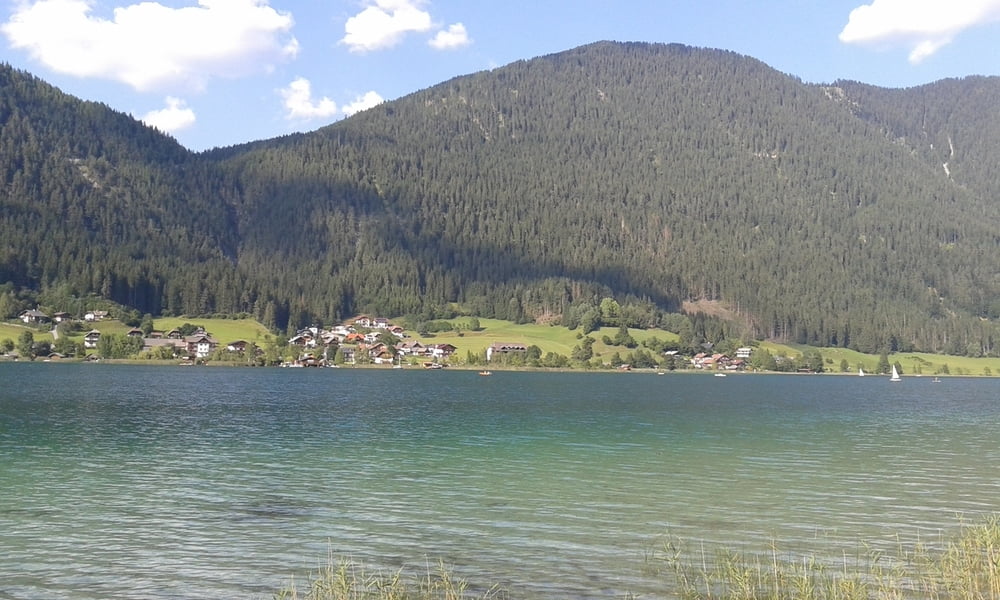
Hermagorer Bodenalm-Paterzipf(Weißensee)-Techendorf-
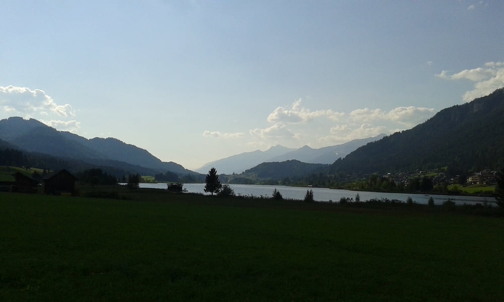
Greifenburg-(Zug nach Spittal)-Spittal-Gmünd
30' Schiebung
Gmünd - Spittal auf der Straße, um schnell zum Berg zu kommen.. Auffahrt zum Goldeck Schotterstraße, tw lose. Gute Steigung.Runter zur Gusenalm an der Kapelleralm vorbei auf gutem Forstweg. Ab Kleinalm hinunter Rg Stockenboi ca 30' zu schieben.
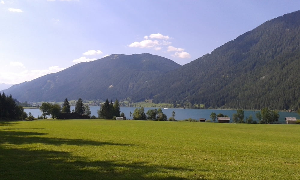
Weißenseestraße nach Weißenbach. Zur Bodenalm auf Schotter, auch hinunter zum See rollt es gut dahin.
Der Freibadeplatz am Paterzipf ist wieder zugänglich. Herrliche Abkühlung bei 25° Wassertemperatur!
Von Greifenburg bis Spittal mit dem Zug.
Spittal-Gmünd wieder 16km und 200hm auf der Straße.
Super Tour, einigermaßen anstrengend.
Galeria trasy
Mapa trasy i profil wysokości
Minimum height 531 m
Maximum height 2091 m
More about the tour author
|
|
mitter |
Komentarze

Start in Gmünd beim Porsche Museum.
GPS tracks
Trackpoints-
GPX / Garmin Map Source (gpx) download
-
TCX / Garmin Training Center® (tcx) download
-
CRS / Garmin Training Center® (crs) download
-
Google Earth (kml) download
-
G7ToWin (g7t) download
-
TTQV (trk) download
-
Overlay (ovl) download
-
Fugawi (txt) download
-
Kompass (DAV) Track (tk) download
-
Karta trasy (pdf) download
-
Original file of the author (gpx) download
More about the tour author
|
|
mitter |
Add to my favorites
Remove from my favorites
Edit tags
Open track
My score
Rate