Login

Zapomniałeś swój login?

Cookies have to be accepted!
Your browser's cookie functionality is disabled. Please enable this functionality.

Not a member yet?

Register now
Login

Available for registred users only

Log in to use this feature.

Zapomniałeś swój login?

Cookies have to be accepted!
Your browser's cookie functionality is disabled. Please enable this functionality.

Not a member yet?

Register now
Filter
Kategorie
Advanced filters
  • Długość (km)
  • Wysokość
Zapisz filtr Reset filter

TrackRank

QRCode

Technical data

Długość12,1 km Wysokość128 m Way down109 m Czas trwania03:00 h:m Data21.08.2015
Oceny Author Krajobraz Czynnik zadowolenia Kondycja Technika

Statystyka

1397 Widoki 1 Ocena 43 Downloads / Pliki do pobrania 4.00 Przeciętnie
Rate
  • Karta trasy
  • Dojazd
  • Downloads / Pliki do pobrania

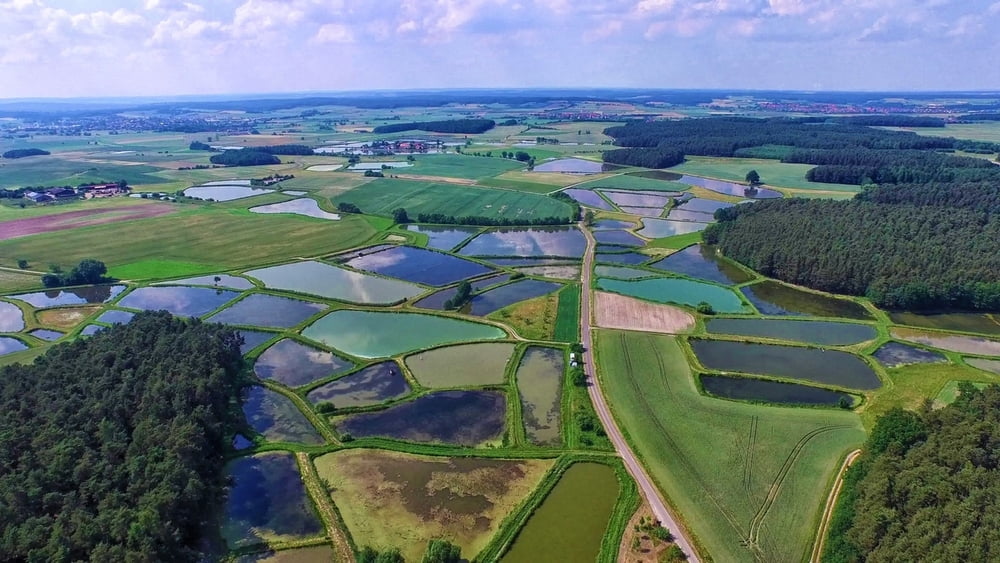
Von Schornweisach aus folgt man dem Flußlauf der Weisach bis Tragelhöchstädt. Von da geht es über Feldwegen nach Uehlfeld. Wir verlassen den Ort und wandern über schöne Waldwege zurück zum Ausgangspunkt.Man kann in Uehlfeld einkehren Brauerei Zwanzger oder in Schornweisach.


Galeria trasy

Mapa trasy i profil wysokości

  • Open Street Map
  • Google
Minimum height 287 m Maximum height 370 m Widok szczegółowy

More about the tour author

moon1974
Member since 2007

Send private message

Komentarze

Schornweisach ist ein Ortsteil von Uehlfeld und zu erreichen über die B470.


GPS tracks

Trackpoints
  • GPX / Garmin Map Source (gpx) download
  • TCX / Garmin Training Center® (tcx) download
  • CRS / Garmin Training Center® (crs) download
  • Google Earth (kml) download
  • G7ToWin (g7t) download
  • TTQV (trk) download
  • Overlay (ovl) download
  • Fugawi (txt) download
  • Kompass (DAV) Track (tk) download
  • Karta trasy (pdf) download
  • Original file of the author (gpx) download

More about the tour author

moon1974
Member since 2007

Send private message
Share track
Add to my favorites
Remove from my favorites
Edit tags
My score
Rate
Trasa: Kräuter und Karpfen Wanderweg
Rodzaj: Wędrówki
Długość: 12,1 km
Evaluated on:
Czas trwania:
Day(s)
Hour(s)
Minute(s)
Ocena: Krajobraz Czynnik zadowolenia Kondycja Technika