


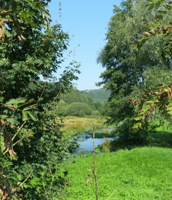
Wir laufen nach SO mit Blaustrich bequem und meist schattig durch das Tal. An Kläranlage nach links zum Fuß-/ Radweg. Auf diesem weiter, bald zeigt des Wegweiser nach rechts. Der weg sollte direkt nach dem Steg nach links an der Trubach weiterführen; hier war aber ein Weidezaun aufgebaut und wir gehen auf dem Fuß-/ Radweg weiter nach Mostviel.
HINWEIS zum Video:
Mit Mozilla Firefox und Flash- Player Plugin startet das Video direkt.
Andernfalls verwendet ihr in eurem Browser den Link:
https://www.google.de/#q=v79tDGBlLNM
Galeria trasy


Mapa trasy i profil wysokości
Minimum height 323 m
Maximum height 442 m
More about the tour author
|
|
heinz-57 |
Komentarze

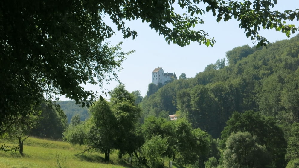
Auf der B470 zwischen Forchheim und Ebermannstadt nehmen wir die Abzweigung Richtung Egloffstein. Durch Pretzfeld fahren wir im Trubachtal nach Schweinthal. Von der Straße führt ein Schotterweg zum Beginn des Wanderweges.
GPS tracks
Trackpoints-
GPX / Garmin Map Source (gpx) download
-
TCX / Garmin Training Center® (tcx) download
-
CRS / Garmin Training Center® (crs) download
-
Google Earth (kml) download
-
G7ToWin (g7t) download
-
TTQV (trk) download
-
Overlay (ovl) download
-
Fugawi (txt) download
-
Kompass (DAV) Track (tk) download
-
Karta trasy (pdf) download
-
Original file of the author (gpx) download
More about the tour author
|
|
heinz-57 |
Add to my favorites
Remove from my favorites
Edit tags
Open track
My score
Rate