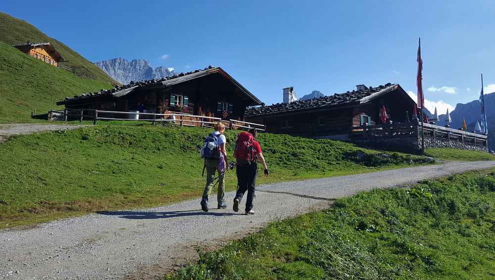
Wunderschöne Tour zu einer der schönsten Almen im Salzburger Land (der Kallbrunnalm) und über den Seehornsee dann weiter zum Aussichtsgipfel - SEEHORN. Von dort dann hinunter zur romantischen Hochebene - Hochwies und über den Dießbachstausee und der Kallbrunnalm wieder zum Ausgangspunkt Pürzlbach.
Weitere Infos zur Tour erhalten Sie HIER
Further information at
http://www.satcom.at/seehorn/Galeria trasy
Mapa trasy i profil wysokości
Minimum height 1085 m
Maximum height 2303 m
Komentarze

In Weißbach bei Lofer fahren Sie hinauf Richtung Hirschbichl und achten rechts auf die Abzweigung Pürzlbach. In Pürzlbach befindet sich dann ein gebührenpflichtiger Parkplatz.
GPS tracks
Trackpoints-
GPX / Garmin Map Source (gpx) download
-
TCX / Garmin Training Center® (tcx) download
-
CRS / Garmin Training Center® (crs) download
-
Google Earth (kml) download
-
G7ToWin (g7t) download
-
TTQV (trk) download
-
Overlay (ovl) download
-
Fugawi (txt) download
-
Kompass (DAV) Track (tk) download
-
Karta trasy (pdf) download
-
Original file of the author (gpx) download
Add to my favorites
Remove from my favorites
Edit tags
Open track
My score
Rate


