Login

Zapomniałeś swój login?

Cookies have to be accepted!
Your browser's cookie functionality is disabled. Please enable this functionality.

Not a member yet?

Register now
Login

Available for registred users only

Log in to use this feature.

Zapomniałeś swój login?

Cookies have to be accepted!
Your browser's cookie functionality is disabled. Please enable this functionality.

Not a member yet?

Register now
Filter
Kategorie
Advanced filters
  • Długość (km)
  • Wysokość
Zapisz filtr Reset filter

TrackRank

QRCode

Technical data

Długość40,4 km Wysokość840 m Way down772 m Czas trwania00:00 h:m Data27.08.2015
Oceny Author Krajobraz Czynnik zadowolenia Kondycja Technika

Statystyka

174 Widoki Oceny 16 Downloads / Pliki do pobrania Przeciętnie
Rate
  • Karta trasy
  • Dojazd
  • Downloads / Pliki do pobrania


Veranstalter: TSV Rot-Weiß Arnsfeld e.V.

http://www.grenzlandtour.de/

Termin: Sonntag, den 17. Mai 2015

Start und Ziel: Sportplatz Arnsfeld

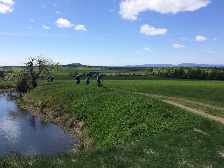
Fitnessrunde (39,9 km)

Distanz: 39,9 km


Startzeit: 10:20 Uhr


Gesamtsteigung: 738 m

Höchster Punkt: 884 m (bei km 21,5)

Tiefster Punkt: 517 m (bei km 36,0)


Further information at

http://www.grenzlandtour.de/

Galeria trasy

Mapa trasy i profil wysokości

  • Open Street Map
  • Google
Minimum height Maximum height 903 m Widok szczegółowy

More about the tour author

Chemnitz-Mitte
Member since 2015

Send private message

Komentarze

GPS tracks

Trackpoints
  • GPX / Garmin Map Source (gpx) download
  • TCX / Garmin Training Center® (tcx) download
  • CRS / Garmin Training Center® (crs) download
  • Google Earth (kml) download
  • G7ToWin (g7t) download
  • TTQV (trk) download
  • Overlay (ovl) download
  • Fugawi (txt) download
  • Kompass (DAV) Track (tk) download
  • Karta trasy (pdf) download
  • Original file of the author (gpx) download

More about the tour author

Chemnitz-Mitte
Member since 2015

Send private message
Share track
Add to my favorites
Remove from my favorites
Edit tags
My score
Rate
Trasa: Grenzlandtour Fitnessrunde 2015
Rodzaj: Rower górski (MTB)
Długość: 40,4 km
Evaluated on:
Czas trwania:
Day(s)
Hour(s)
Minute(s)
Ocena: Krajobraz Czynnik zadowolenia Kondycja Technika