

Also dies mal kein Rundweg, aber man braucht trotzdem keine Strecke zweimal zu fahren.
Start ist in Siegburg, Bahnhof. Mit STR66 nach Bad Honnef, Dauer leider ca 1h, aber es lohnt sich.
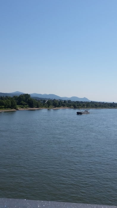
Von Bad Honnef - Stadtbahn-Haltestelle Richtung Königswinter (Fähre) fahren. Dabei bleibt man auf der selben Seite wie die Haltestelle.
In Königswinter auf die andere Seite des Rheins mit der Fähre übersetzen. Und dann immer weiter fahren Bis zu der Nordbrücke in Bonn. Wer Lust auf eine Pause hat, kann im Biergarten Schänzchen einkehren.
Nach der Nordbrücke wechselt man auf einen nicht asphaltierten (Wald- und Wiesenweg) Richtung SIegtalradweg. Nach ein Paar Minuten ist man dann auch wieder auf einem befestigtem Radweg auf dem Weg nach Siegburg. Und jetzt nur noch dem Weg folgen.
Viel Spaß dabei.
Galeria trasy


Mapa trasy i profil wysokości
Minimum height 45 m
Maximum height 58 m
More about the tour author
|
|
JeDi2012 |
Komentarze

GPS tracks
Trackpoints-
GPX / Garmin Map Source (gpx) download
-
TCX / Garmin Training Center® (tcx) download
-
CRS / Garmin Training Center® (crs) download
-
Google Earth (kml) download
-
G7ToWin (g7t) download
-
TTQV (trk) download
-
Overlay (ovl) download
-
Fugawi (txt) download
-
Kompass (DAV) Track (tk) download
-
Karta trasy (pdf) download
-
Original file of the author (gpx) download
More about the tour author
|
|
JeDi2012 |
Add to my favorites
Remove from my favorites
Edit tags
Open track
My score
Rate