
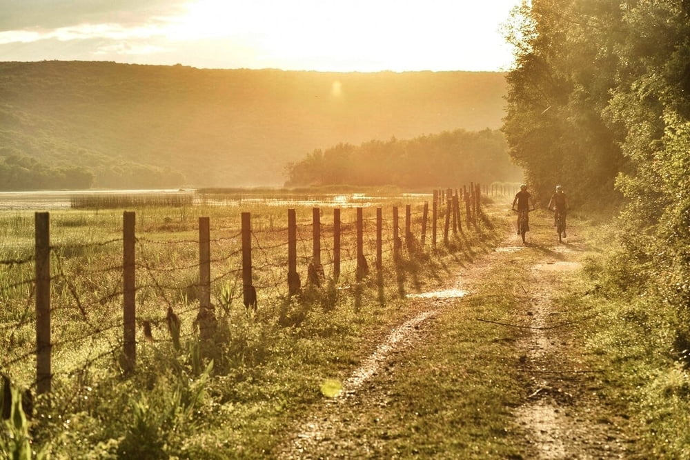

Relativno kratka, ali zanimljiva MTB staza pogodna i za ozbiljnije trekking bicikle. Kreće u smjeru Čižića i nastavlja u smjeru malog skrivenog jezera tik iznad Njivica. Trasa dalje ide povremeno kroz dijelove za koje ćete teško tvrditi da su uopće na otoku Krku, a sama ruta je na uglavnom makadamskoj podlozi te nekoliko zemljanih dijelova i kraćih singletrailova. Iako je ruta kratka, zahtijeva određeno znanje i iskustvo te adekvatan bicikl.
Relatively short but interesting MTB route appropriate also for more advanced trekking bikes. It starts towards Čižići and continues to a small hidden lake right above Njivice. It occasionally follows through parts for which you will hardly believe they are on the island of Krk, and it is mostly on macadam with a few soil parts and shorter single trails. Although short, it requires specific skill and experience and an adequate bike.
www.adriabike.hr
www.njiviceresort.com
Galeria trasy


Mapa trasy i profil wysokości
Minimum height -2 m
Maximum height 188 m
More about the tour author
|
|
AdriaBikeHotels |
Komentarze

GPS tracks
Trackpoints-
GPX / Garmin Map Source (gpx) download
-
TCX / Garmin Training Center® (tcx) download
-
CRS / Garmin Training Center® (crs) download
-
Google Earth (kml) download
-
G7ToWin (g7t) download
-
TTQV (trk) download
-
Overlay (ovl) download
-
Fugawi (txt) download
-
Kompass (DAV) Track (tk) download
-
Karta trasy (pdf) download
-
Original file of the author (gpx) download
More about the tour author
|
|
AdriaBikeHotels |
Add to my favorites
Remove from my favorites
Edit tags
Open track
My score
Rate