
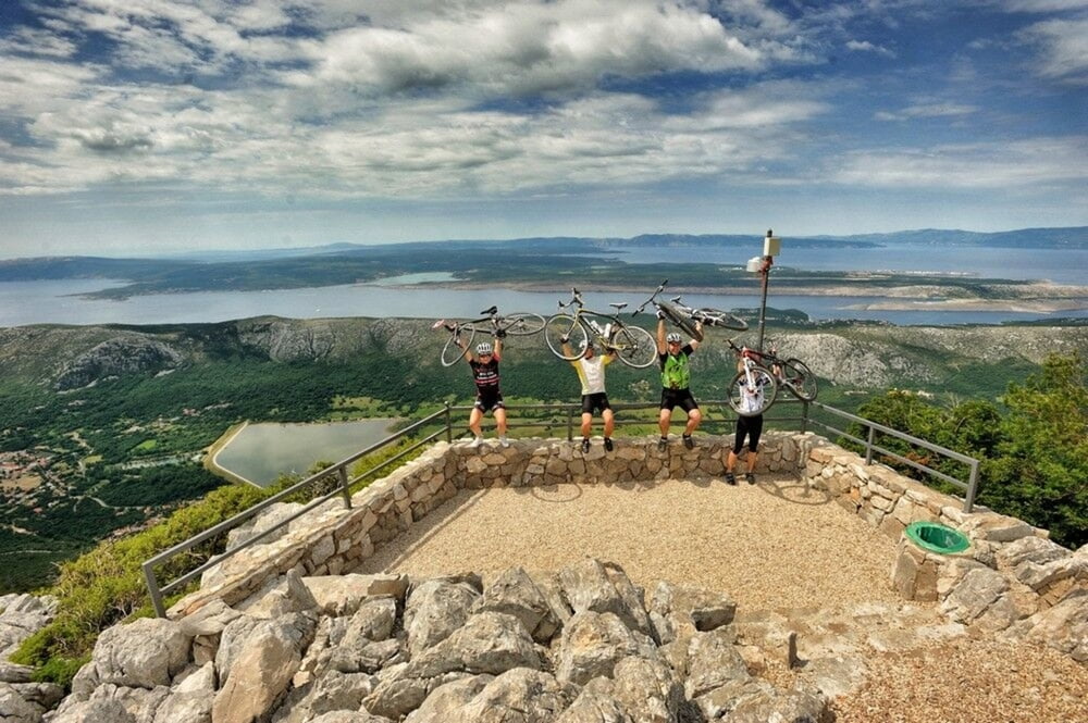

Fantastična ruta od 100 kilometara idealna za zahtjevne cestovne bicikliste. Ruta koja će vam otkriti bogatstvo i raznolikost Kvarnera te vas u istom danu izložiti dvama različitim klimama, mediteranskoj i planinskoj, na Vašem biciklu. Ruta kreće iz Njivica i prelaskom preko mosta napušta otok Krk te se penje prema predivnom jezeru i mjestu Fužine, idealnima za odmor nakon uspona. Nakon Fužina ruta nastavlja Gorskim kotarom i spušta se prema Triblju, mjestu u zaleđu Crikvenice. Ruta se potom nastavlja preko Krčkog mosta nazad do Njivica.
A fantastic route of some 100 kilometers ideal for demanding road bikers. It is the route which will reveal to you the richness and diversity of Kvarner and in the same day make you experience two different climates, Mediterranean and mountain. It starts from Njivice and by passing over the bridge leaves the island of Krk and ascends towards a beautiful lake and village Fužine, ideal for rest after the ascent. After Fužine, it continues through Gorski kotar and lowers towards Tribalj, a village in the hinterland of Crikvenica. Then it returns over the Krk Bridge (Krčki most) back to Njivice.
www.adriabike.hr
www.njiviceresort.com
Galeria trasy

Mapa trasy i profil wysokości
Minimum height 1 m
Maximum height 940 m
More about the tour author
|
|
AdriaBikeHotels |
Komentarze

GPS tracks
Trackpoints-
GPX / Garmin Map Source (gpx) download
-
TCX / Garmin Training Center® (tcx) download
-
CRS / Garmin Training Center® (crs) download
-
Google Earth (kml) download
-
G7ToWin (g7t) download
-
TTQV (trk) download
-
Overlay (ovl) download
-
Fugawi (txt) download
-
Kompass (DAV) Track (tk) download
-
Karta trasy (pdf) download
-
Original file of the author (gpx) download
More about the tour author
|
|
AdriaBikeHotels |
Add to my favorites
Remove from my favorites
Edit tags
Open track
My score
Rate