Login

Zapomniałeś swój login?

Cookies have to be accepted!
Your browser's cookie functionality is disabled. Please enable this functionality.

Not a member yet?

Register now
Login

Available for registred users only

Log in to use this feature.

Zapomniałeś swój login?

Cookies have to be accepted!
Your browser's cookie functionality is disabled. Please enable this functionality.

Not a member yet?

Register now
Filter
Kategorie
Advanced filters
  • Długość (km)
  • Wysokość
Zapisz filtr Reset filter

TrackRank

QRCode

Technical data

Długość23,4 km Wysokość542 m Way down538 m Czas trwania00:00 h:m Data05.09.2015
Oceny Author Krajobraz Czynnik zadowolenia Kondycja Technika

Statystyka

410 Widoki Oceny 14 Downloads / Pliki do pobrania Przeciętnie
Rate
  • Karta trasy
  • Dojazd
  • Downloads / Pliki do pobrania

Kurze Strecke, aber total schön und knackig.

Es handelt sich hier um einen Wanderweg, bitte Vorsicht und auf Wanderer achten!!!!! Sehr schmale Pfade (Hintereinanderwege) Viele Pfade mit Hanglage! Kurze und knackige Anstiege, es gibt auch Treppen und Brücken. Bei Feuchtigkeit Achtung! sehr rutschig. Wunderschöne Blicke auf die Talsperre, vorallem im Herbst. Schöne Assicht vom Teufelsberg.
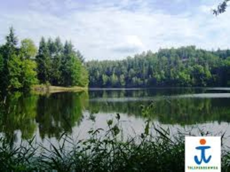
 

Galeria trasy

Mapa trasy i profil wysokości

  • Open Street Map
  • Google
Minimum height 297 m Maximum height 411 m Widok szczegółowy

More about the tour author

TKOetzi
Member since 2015

Send private message

Komentarze

GPS tracks

Trackpoints
  • GPX / Garmin Map Source (gpx) download
  • TCX / Garmin Training Center® (tcx) download
  • CRS / Garmin Training Center® (crs) download
  • Google Earth (kml) download
  • G7ToWin (g7t) download
  • TTQV (trk) download
  • Overlay (ovl) download
  • Fugawi (txt) download
  • Kompass (DAV) Track (tk) download
  • Karta trasy (pdf) download
  • Original file of the author (gpx) download

More about the tour author

TKOetzi
Member since 2015

Send private message
Share track
Add to my favorites
Remove from my favorites
Edit tags
My score
Rate
Trasa: Weidatalsperre
Rodzaj: Rower górski (MTB)
Długość: 23,4 km
Evaluated on:
Czas trwania:
Day(s)
Hour(s)
Minute(s)
Ocena: Krajobraz Czynnik zadowolenia Kondycja Technika