

Start ist am Campinplatz in Mimizan.
Dem Radweg folgen und teilweise am Binnensee entlang. Dort sind die Wege zum Teil sandig und stellenweise schwer fahrbar (am Boden liegende Piniennadeldecke nutzen).
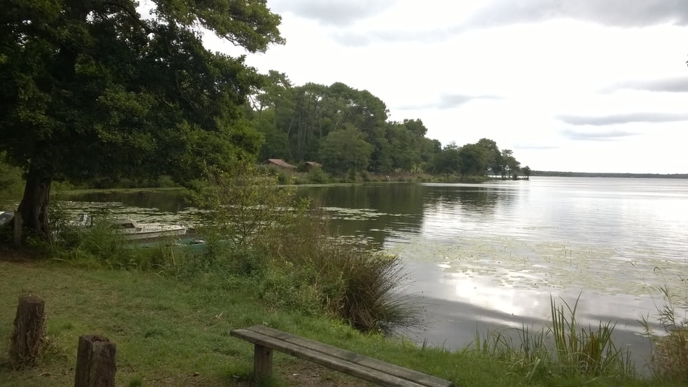
Galeria trasy

Mapa trasy i profil wysokości
Minimum height -20 m
Maximum height 46 m
More about the tour author

|
JV |
Komentarze

GPS tracks
Trackpoints-
GPX / Garmin Map Source (gpx) download
-
TCX / Garmin Training Center® (tcx) download
-
CRS / Garmin Training Center® (crs) download
-
Google Earth (kml) download
-
G7ToWin (g7t) download
-
TTQV (trk) download
-
Overlay (ovl) download
-
Fugawi (txt) download
-
Kompass (DAV) Track (tk) download
-
Karta trasy (pdf) download
-
Original file of the author (gpx) download
More about the tour author
|
|
JV |
Add to my favorites
Remove from my favorites
Edit tags
Open track
My score
Rate