BikeTube HD 68
Radtour durch die Rheinauen
Die Radtour beginnt in Karlsruhe-Maxau.
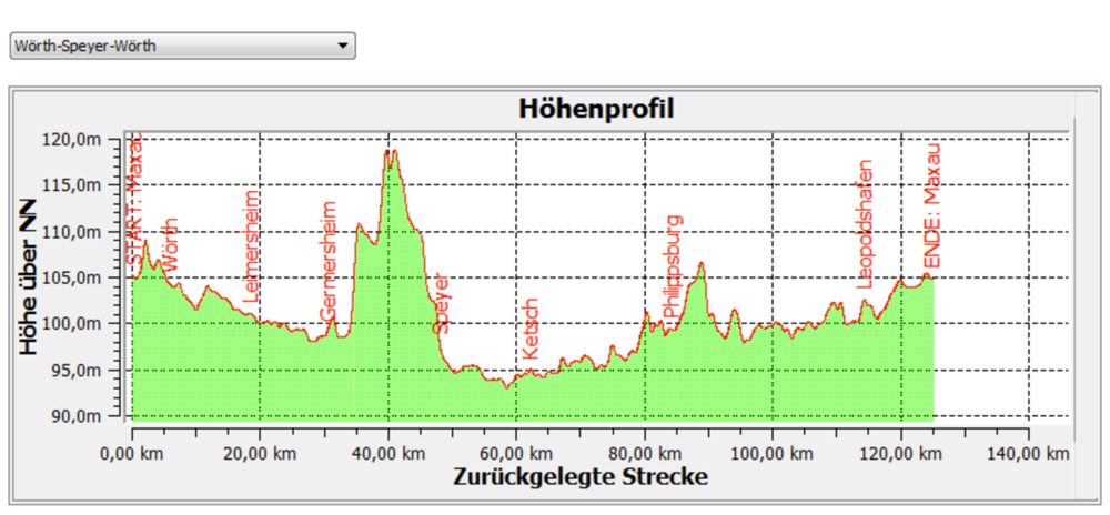
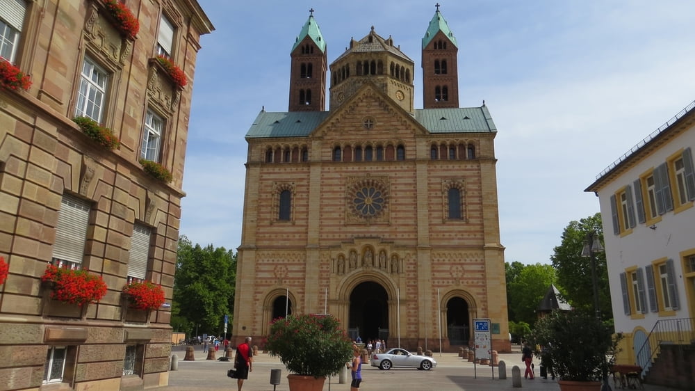
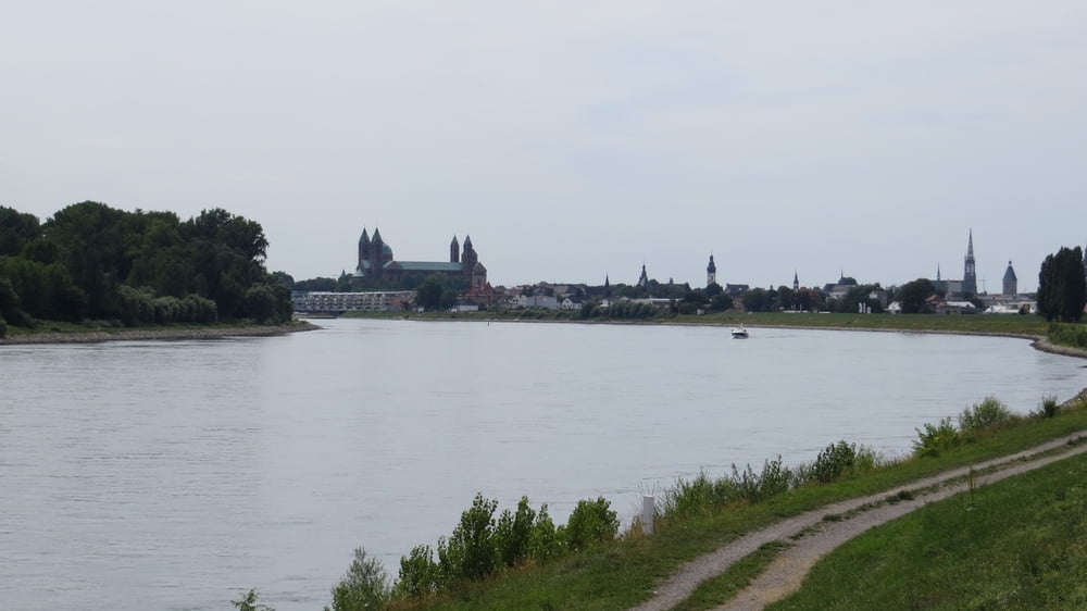
Wir folgen dem Rhein stromaufwärts durch Wörth, an Altrheinarmen vorbei durch Naturschutzgebiete bis Germersheim und Speyer.
Mit der Kollerfähre setzen wir über und folgen dem Altrhein bis Ketsch.
Hier mündet der Kraichbach in den Rhein. Meist direkt am Rhein erreichen wir zunächst Phillipspurg und über den Ölhafen (Wörth) unseren Ausgangspunkt.
Galeria trasy
Mapa trasy i profil wysokości
Minimum height 91 m
Maximum height 121 m
Komentarze

Die Anfahrt nach Karlsruhe Maxau erfolgte mit dem Auto über die A8, A5 und B10.
GPS tracks
Trackpoints-
GPX / Garmin Map Source (gpx) download
-
TCX / Garmin Training Center® (tcx) download
-
CRS / Garmin Training Center® (crs) download
-
Google Earth (kml) download
-
G7ToWin (g7t) download
-
TTQV (trk) download
-
Overlay (ovl) download
-
Fugawi (txt) download
-
Kompass (DAV) Track (tk) download
-
Karta trasy (pdf) download
-
Original file of the author (gpx) download
Add to my favorites
Remove from my favorites
Edit tags
Open track
My score
Rate


