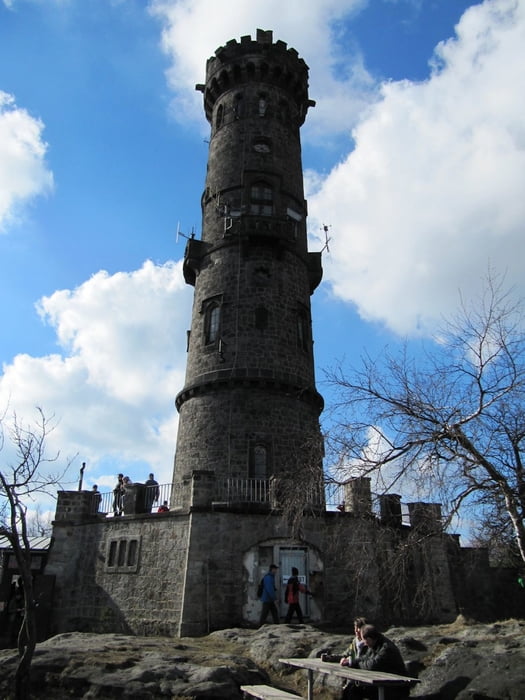
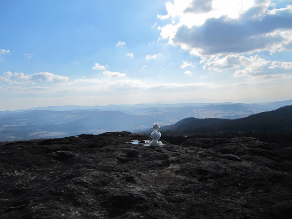
los gehts in Krippen und damit erstmal bergauf und dies eigentlich bis zum Gipfel des Deciner Schneeberges, halt mal seichter und halt mal etwas steiler
auf dem Gipfel kann man am Aussichtsturm entspannen bei Speis und Trank, danach geht es nur noch abwärts
Further information at
http://www.saechsische-schweiz.de/elbsandsteingebirge.htmlGaleria trasy
Mapa trasy i profil wysokości
Minimum height 121 m
Maximum height 715 m
Komentarze

Pirna - Struppen - Königsstein - Richtung Bad Schandau, vor Elbbrücke nach rechts abbiegen in Richtung Krippen
Parkplatz am Orseingang
GPS tracks
Trackpoints-
GPX / Garmin Map Source (gpx) download
-
TCX / Garmin Training Center® (tcx) download
-
CRS / Garmin Training Center® (crs) download
-
Google Earth (kml) download
-
G7ToWin (g7t) download
-
TTQV (trk) download
-
Overlay (ovl) download
-
Fugawi (txt) download
-
Kompass (DAV) Track (tk) download
-
Karta trasy (pdf) download
-
Original file of the author (gpx) download
Add to my favorites
Remove from my favorites
Edit tags
Open track
My score
Rate


