Login

Zapomniałeś swój login?

Cookies have to be accepted!
Your browser's cookie functionality is disabled. Please enable this functionality.

Not a member yet?

Register now
Login

Available for registred users only

Log in to use this feature.

Zapomniałeś swój login?

Cookies have to be accepted!
Your browser's cookie functionality is disabled. Please enable this functionality.

Not a member yet?

Register now
Filter
Kategorie
Advanced filters
  • Długość (km)
  • Wysokość
Zapisz filtr Reset filter

TrackRank

QRCode

Technical data

Długość72,3 km Wysokość1509 m Way down1510 m Czas trwania05:34 h:m Data23.09.2015
Oceny Author Krajobraz Czynnik zadowolenia Kondycja Technika

Statystyka

416 Widoki Oceny 47 Downloads / Pliki do pobrania Przeciętnie
Rate
  • Karta trasy
  • Dojazd
  • Downloads / Pliki do pobrania

Deze tocht start in Champlon bij de Jeugdherberg.Het is een leuke tocht waar van alles in zit, zo zit er bijvoorbeeld ook een afdaling in over het downhill parcour van Maboge, wat eindigd onderaan bij de Ourthe. Ongeveer halverwege bij Dochamps zijn twee gelegenheden om een hapje te eten. Wij hebben in het dorp zelf gegeten bij het restaurant/cafe langs de bakker.
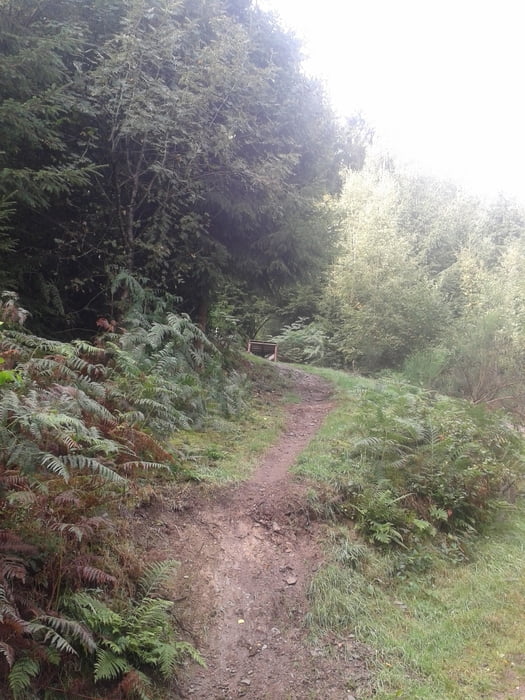


Galeria trasy

Mapa trasy i profil wysokości

  • Open Street Map
  • Google
Minimum height 207 m Maximum height 573 m Widok szczegółowy

More about the tour author

Bartelomeus
Member since 2012

Send private message

Komentarze

GPS tracks

Trackpoints
  • GPX / Garmin Map Source (gpx) download
  • TCX / Garmin Training Center® (tcx) download
  • CRS / Garmin Training Center® (crs) download
  • Google Earth (kml) download
  • G7ToWin (g7t) download
  • TTQV (trk) download
  • Overlay (ovl) download
  • Fugawi (txt) download
  • Kompass (DAV) Track (tk) download
  • Karta trasy (pdf) download
  • Original file of the author (gpx) download

More about the tour author

Bartelomeus
Member since 2012

Send private message
Share track
Add to my favorites
Remove from my favorites
Edit tags
My score
Rate
Trasa: Champlon - La Roche
Rodzaj: Rower górski (MTB)
Długość: 72,3 km
Evaluated on:
Czas trwania:
Day(s)
Hour(s)
Minute(s)
Ocena: Krajobraz Czynnik zadowolenia Kondycja Technika