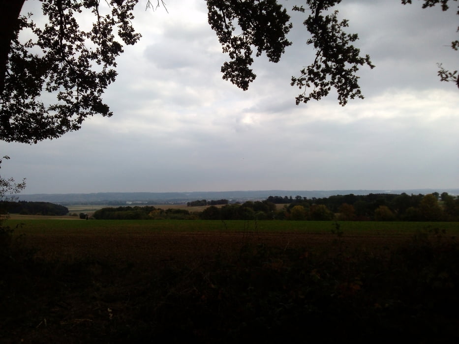
Von Furth über den Wasserturm nach Arth. Weiter über den Golfplatz Oberlippach durchs Klosterholz nach Unterglaim. Durch den Taxauer Forst nach Unkofen. Dann Richtung Hohenthann tw. auf dem Rudi Sedlmayerweg zurück über Mainzendorf und Unterschwendt und Zell nach Weihern. Über den letzten Buckel durch den Wald zurück nach Furth
Galeria trasy
Mapa trasy i profil wysokości
Minimum height 353 m
Maximum height 513 m
Komentarze

Furth bei Landshut
GPS tracks
Trackpoints-
GPX / Garmin Map Source (gpx) download
-
TCX / Garmin Training Center® (tcx) download
-
CRS / Garmin Training Center® (crs) download
-
Google Earth (kml) download
-
G7ToWin (g7t) download
-
TTQV (trk) download
-
Overlay (ovl) download
-
Fugawi (txt) download
-
Kompass (DAV) Track (tk) download
-
Karta trasy (pdf) download
-
Original file of the author (gpx) download
Add to my favorites
Remove from my favorites
Edit tags
Open track
My score
Rate


