


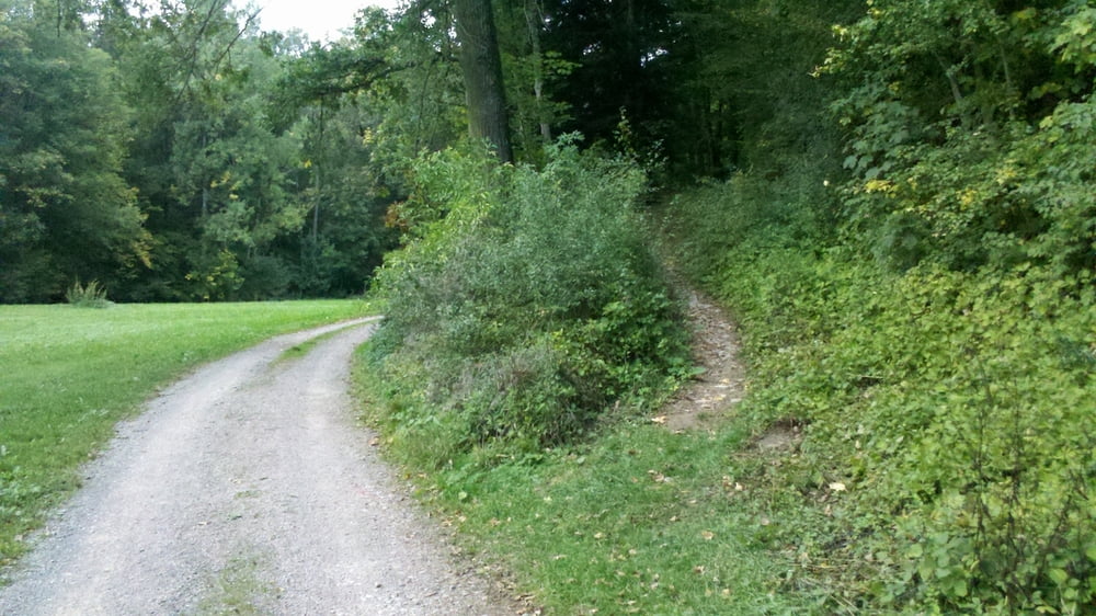
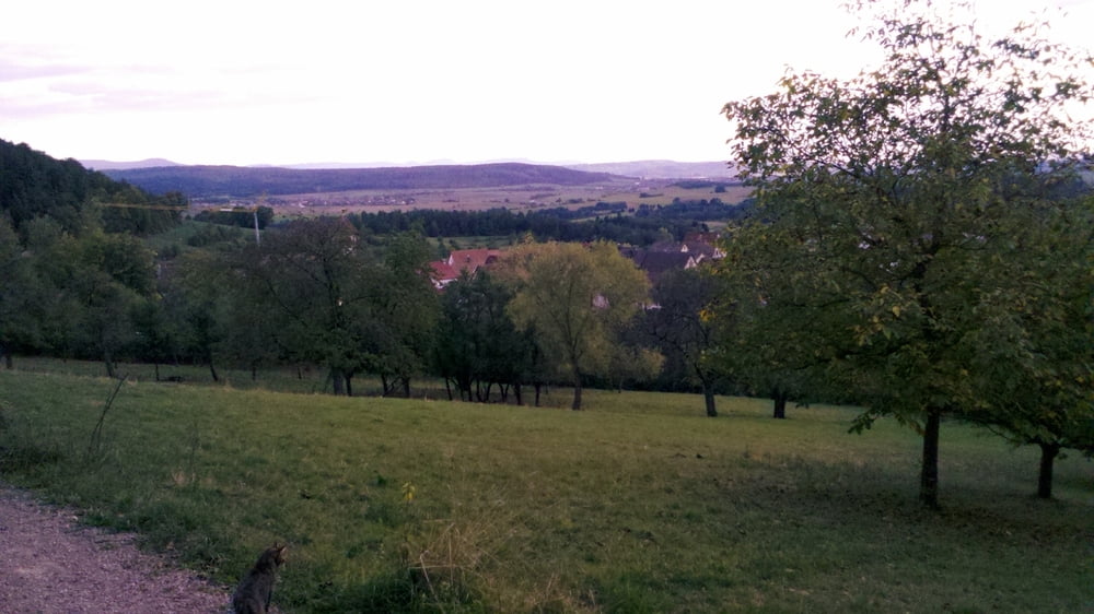
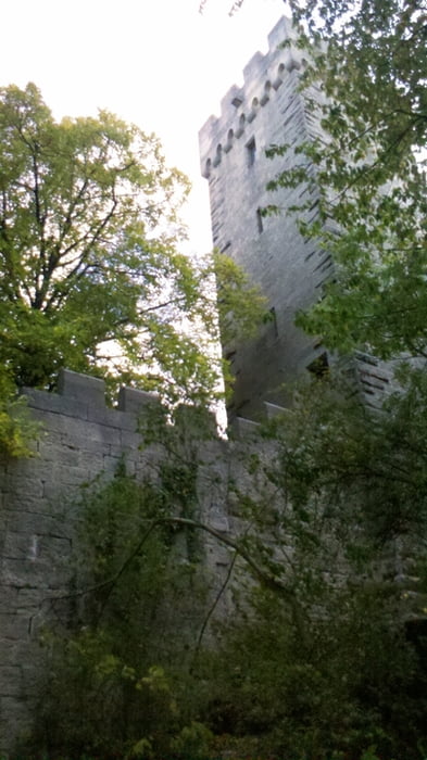
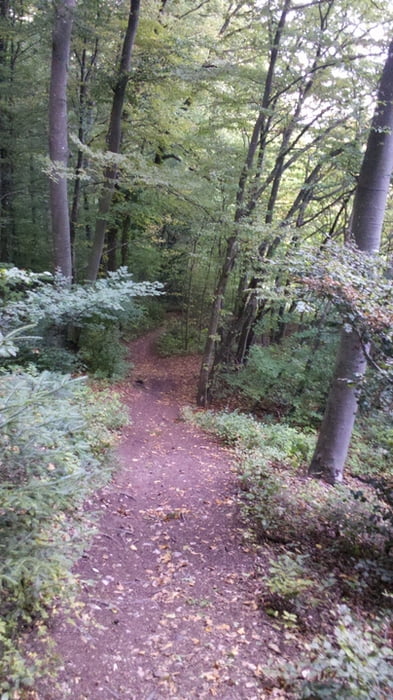
Start in Rottenburg. Zuerst Hoch Richtung Remmingsheim, in Kalkweil recht rein, auf den Sebastin-Blau Wanderweg, bis bad Niedernau. In Bad Niedernau nach links ins Katzenbachtal, bei der Kurklinik rechts in den Wald hoch. Trailabfahrt runter ins Katzenbachtal, Nach ca 300m links hoch. links nach Weiler weiterfahren. Zuerst auf die Weiler Burg hochfahren. Auf einem Trail nach unten fahren, um die Weiler Burg herum zurück nach Weiler, hinter Weiler einen Trail nach Bad Niedernau hinunter, zurück nach Rottenburg.
2-3 anspruchsvolle Trails, an manchen Stellen muss kurz getragen werden.
Galeria trasy
Mapa trasy i profil wysokości
Minimum height 383 m
Maximum height 605 m
More about the tour author

|
raphibarth |
Komentarze

GPS tracks
Trackpoints-
GPX / Garmin Map Source (gpx) download
-
TCX / Garmin Training Center® (tcx) download
-
CRS / Garmin Training Center® (crs) download
-
Google Earth (kml) download
-
G7ToWin (g7t) download
-
TTQV (trk) download
-
Overlay (ovl) download
-
Fugawi (txt) download
-
Kompass (DAV) Track (tk) download
-
Karta trasy (pdf) download
-
Original file of the author (gpx) download
More about the tour author
|
|
raphibarth |
Add to my favorites
Remove from my favorites
Edit tags
Open track
My score
Rate