

Tag 6: Buenavista del Norte- Puerto Santiago
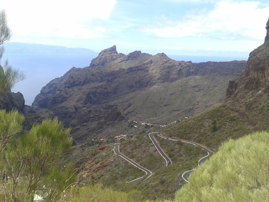
Wir fahren über eine landschaftlich sehr schöne Asphaltstraße von Buenavista del Norte über den hübschen kleinen und verschlafenen Ort Masca weiter nach Santiago del Teide bis nach Puerto Santiago. Auf dieser Route durchquert man das wunderschöne Teno - Gebirge.
Fazit: Eine landschaftlich lohnenswerte Tour!
Am nächsten Tag lassen wir uns mit einem Boot - diesmal ohne Bikes - von Puerto Santiago zum Ausgang am Meer der Masca Schlucht bringen. Die Tickets dafür kaufen wir uns am Vortag in Puerto Santiago und gehen die imposante Masca - Schlucht vom Meer bis zur Ortschaft Masca. Die Wanderung ist in 3 Stunden leicht zu machen. Es sind aber Sport- oder Wanderschuhe notwendig. Von Masca lassen wir uns mit einem Taxi nach Puerto Santiago bringen, wo unsere Unterkunft ist.
Galeria trasy


Mapa trasy i profil wysokości
Minimum height 136 m
Maximum height 1050 m
More about the tour author
|
|
Markbeate |
Komentarze

Wir waren 3 Wochen - von Ende September bis Mitte Oktober 2015 - mit unseren MTB´s (Hardtails) auf 4 Kanarische Inseln unterwegs (Teneriffa, Lanzarote, La Graciosa und La Gomera).
GPS tracks
Trackpoints-
GPX / Garmin Map Source (gpx) download
-
TCX / Garmin Training Center® (tcx) download
-
CRS / Garmin Training Center® (crs) download
-
Google Earth (kml) download
-
G7ToWin (g7t) download
-
TTQV (trk) download
-
Overlay (ovl) download
-
Fugawi (txt) download
-
Kompass (DAV) Track (tk) download
-
Karta trasy (pdf) download
-
Original file of the author (gpx) download
More about the tour author
|
|
Markbeate |
Add to my favorites
Remove from my favorites
Edit tags
Open track
My score
Rate