

Tag 7: Santiago del Teide - Los Cristianos
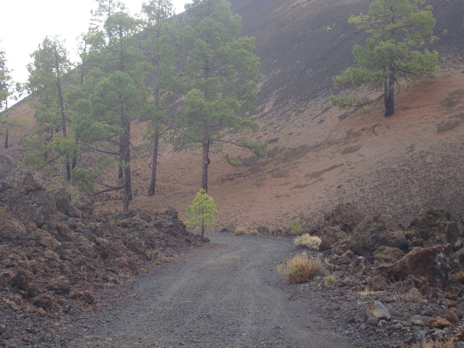
Mit dem Taxi lassen wir uns - die Bikes sind im Laderaum des Autos verstaut - von Puerto Santiago nach Santiago del Teide bringen. Von dort aus fahren wir mit unseren Bikes zuerst eine kaum befahrene Asphaltstraße weiter und später ganz alleine über eine wunderschöne Forststraße durch den Teide Nationalpark mit vielen Jungvulkanen. Auf der Strecke wechseln Lavalandschaften und Föhrenwälder einander ab. Die Tour ist einsam und sehr abwechslungsreich. Über eine Asphaltstraße fahren wir durch den Teide-Nationalpark weiter zuerst bis nach Vilaflor und dann nach Los Cristianos. Von Los Cristianos fahren wir mit der Fähre "Las Armas" (diese Fährgesellschaft ist um einiges günstiger als die von Fred Olsen) nach San Sebastian de La Gomera. Dort übernachten wir.
Galeria trasy


Mapa trasy i profil wysokości
Minimum height 52 m
Maximum height 2147 m
More about the tour author
|
|
Markbeate |
Komentarze

Wir waren 3 Wochen - von Ende September bis Mitte Oktober 2015 - mit unseren MTB´s (Hardtails) auf 4 Kanarische Inseln unterwegs (Teneriffa, Lanzarote, La Graciosa und La Gomera).
GPS tracks
Trackpoints-
GPX / Garmin Map Source (gpx) download
-
TCX / Garmin Training Center® (tcx) download
-
CRS / Garmin Training Center® (crs) download
-
Google Earth (kml) download
-
G7ToWin (g7t) download
-
TTQV (trk) download
-
Overlay (ovl) download
-
Fugawi (txt) download
-
Kompass (DAV) Track (tk) download
-
Karta trasy (pdf) download
-
Original file of the author (gpx) download
More about the tour author
|
|
Markbeate |
Add to my favorites
Remove from my favorites
Edit tags
Open track
My score
Rate