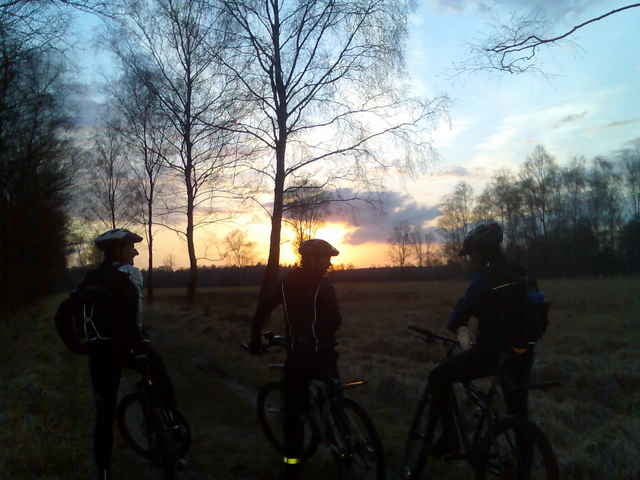
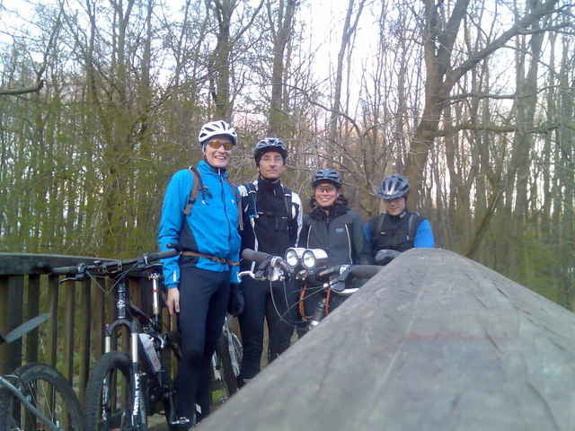
über lemsahl ging es zum rader trail bis kayhude, weiter über gut stegen und wilhelm in den duvenstedter brook und auf dem brook trail zum wohldorfer wald und dann über den rodenbeker quellen trail ins alstertal und über die große alsterschleife und die kupferteiche gings heim!
Further information at
http://www.hegibiketours.deGaleria trasy
Mapa trasy i profil wysokości
Minimum height 9 m
Maximum height 45 m
Komentarze

Start in Lemsahl! In den 30ziger Zonen der Wohngegenden!
GPS tracks
Trackpoints-
GPX / Garmin Map Source (gpx) download
-
TCX / Garmin Training Center® (tcx) download
-
CRS / Garmin Training Center® (crs) download
-
Google Earth (kml) download
-
G7ToWin (g7t) download
-
TTQV (trk) download
-
Overlay (ovl) download
-
Fugawi (txt) download
-
Kompass (DAV) Track (tk) download
-
Karta trasy (pdf) download
-
Original file of the author (gpx) download
Add to my favorites
Remove from my favorites
Edit tags
Open track
My score
Rate


