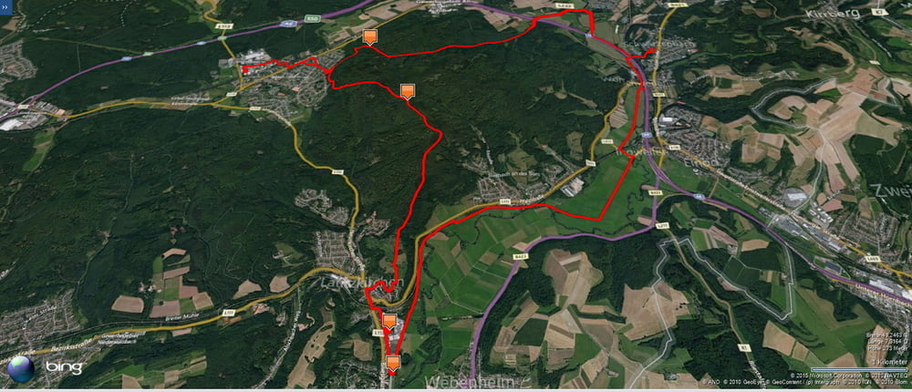
Zuerst fuhr ich von Homburg-Schwarzenbach durchdas Bliestal und über den Taubenpass nach Kirkel-Neuhäusel.
Am Abend radelte ich dann am Wasserfelsen und am Waldklassenzimmer vorbei zu Peters Eiche und weiter auf dem Höhenzug des östlichen Kirkeler Waldes nach Lautzkirchen und Blieskastel wo ich mir das Nötigste besorgte.
Den Rückweg trat ich auf dem Talradweg im Bliestal an und erreichte den Ausgangspunkt im Schein meines Scheinwerfers.
Further information at
https://de.wikipedia.org/wiki/Saarpfalz-KreisGaleria trasy
Mapa trasy i profil wysokości
Minimum height 219 m
Maximum height 379 m
Komentarze

Start und Ziel ist in Homburg-Schwarzenbach.
GPS tracks
Trackpoints-
GPX / Garmin Map Source (gpx) download
-
TCX / Garmin Training Center® (tcx) download
-
CRS / Garmin Training Center® (crs) download
-
Google Earth (kml) download
-
G7ToWin (g7t) download
-
TTQV (trk) download
-
Overlay (ovl) download
-
Fugawi (txt) download
-
Kompass (DAV) Track (tk) download
-
Karta trasy (pdf) download
-
Original file of the author (gpx) download
Add to my favorites
Remove from my favorites
Edit tags
Open track
My score
Rate

