

Die Höhenmeter und Kilometer sagen hier nicht alles !
Keine Genusstour, da die Auffahrt über eine sehr steinige, trockene, steile Piste geht, wo das Rad
(am besten 29er) ständig über scharfkantige lose Gesteinsbrocken tänzelt und gutes Gleichgewicht bei aufmerksamer Konzentration nötig ist.
Auch bei der Abfahrt kann man es nicht lustig krachen lassen.
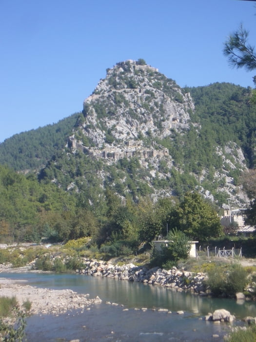
Dafür entschädigt aber eine wunderschöne Aussicht auf weiten Strecken.
Viel Wasser mitnehmen!
Bitte lasst einen Kommentar hier, wenn ihr dies downloadet und nachfahrt.
Galeria trasy
Mapa trasy i profil wysokości
Minimum height -122 m
Maximum height 404 m
More about the tour author
|
|
rad05 |
Komentarze

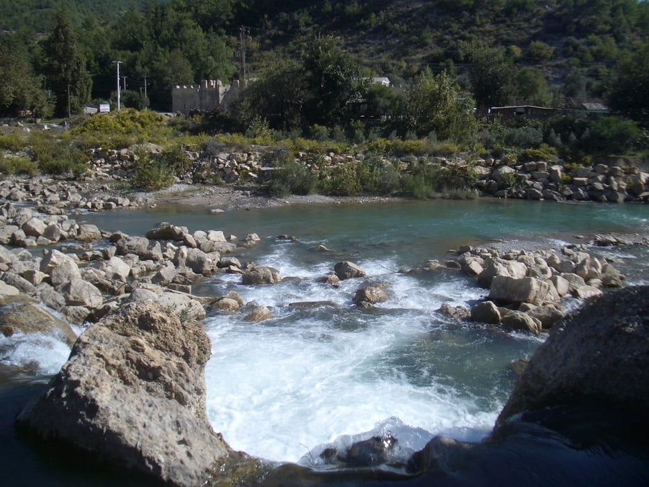
Ich bin an der Brücke in Alara abgebogen (Anfahrt siehe meine andere Tour), man kann aber auch vom Meer her über Boztepe (siehe meine Rückfahrt) anfahren.
GPS tracks
Trackpoints-
GPX / Garmin Map Source (gpx) download
-
TCX / Garmin Training Center® (tcx) download
-
CRS / Garmin Training Center® (crs) download
-
Google Earth (kml) download
-
G7ToWin (g7t) download
-
TTQV (trk) download
-
Overlay (ovl) download
-
Fugawi (txt) download
-
Kompass (DAV) Track (tk) download
-
Karta trasy (pdf) download
-
Original file of the author (gpx) download
More about the tour author
|
|
rad05 |
Add to my favorites
Remove from my favorites
Edit tags
Open track
My score
Rate