Login

Zapomniałeś swój login?

Cookies have to be accepted!
Your browser's cookie functionality is disabled. Please enable this functionality.

Not a member yet?

Register now
Login

Available for registred users only

Log in to use this feature.

Zapomniałeś swój login?

Cookies have to be accepted!
Your browser's cookie functionality is disabled. Please enable this functionality.

Not a member yet?

Register now
Filter
Kategorie
Advanced filters
  • Długość (km)
  • Wysokość
Zapisz filtr Reset filter

TrackRank

QRCode

Technical data

Długość56,7 km Wysokość1618 m Way down1634 m Czas trwania05:00 h:m Data10.11.2015
Oceny Author Krajobraz Czynnik zadowolenia Kondycja Technika

Statystyka

924 Widoki Oceny 145 Downloads / Pliki do pobrania Przeciętnie
Rate
  • Karta trasy
  • Dojazd
  • Downloads / Pliki do pobrania

Meine letzten ungefahrenen Strecken am Tegernsee mit zwei Aueralm-Einkehr-Stopps...der reinste Luxus nach einer langen Saison. Einfach drauf los radeln...technisch sehr einfach, ab und zu ein paar steilere Anstiege und eine kurze Schiebepassage, aber ansonsten alles easy zu fahren. Viel Spaß
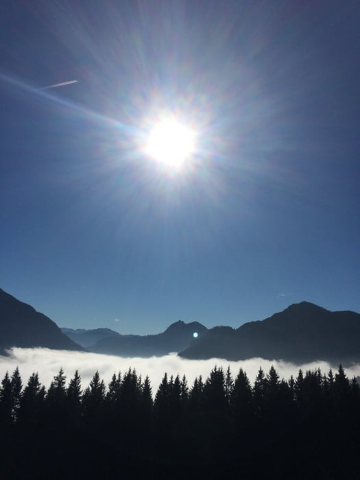
 

Galeria trasy

Mapa trasy i profil wysokości

  • Open Street Map
  • Google
Minimum height 674 m Maximum height 1333 m Widok szczegółowy

More about the tour author

UweEibel
Member since 2011

Send private message

Komentarze

Start ab Bad Wiessee oder in Lenggries...wies grad besser passt.


GPS tracks

Trackpoints
  • GPX / Garmin Map Source (gpx) download
  • TCX / Garmin Training Center® (tcx) download
  • CRS / Garmin Training Center® (crs) download
  • Google Earth (kml) download
  • G7ToWin (g7t) download
  • TTQV (trk) download
  • Overlay (ovl) download
  • Fugawi (txt) download
  • Kompass (DAV) Track (tk) download
  • Karta trasy (pdf) download
  • Original file of the author (gpx) download

More about the tour author

UweEibel
Member since 2011

Send private message
Share track
Add to my favorites
Remove from my favorites
Edit tags
My score
Rate
Trasa: Tegernsee West
Rodzaj: Rower górski (MTB)
Długość: 56,7 km
Evaluated on:
Czas trwania:
Day(s)
Hour(s)
Minute(s)
Ocena: Krajobraz Czynnik zadowolenia Kondycja Technika