
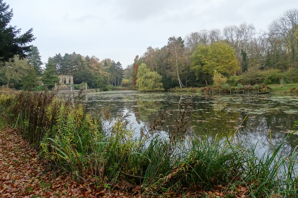

Von dem Parkplatz Ecke Schneiderstraße/Prozessionsweg starten wir in südlicher Richtung. Über Wald- und Feldwege und durch gemütliche Wohngebiete erreichen wir Recklinghausen. Entlang der Emscher und des Rhein-Herne-Kanals kommen wir nach Oberhausen. Durch das Rothbachtal und vorbei am Heidesee gelanden wir zu unserm Ausgangspunt.
Galeria trasy


Mapa trasy i profil wysokości
Minimum height 36 m
Maximum height 79 m
More about the tour author

|
civap |
Komentarze

von der A2 (Ausfahrt Bottrop) nördlich über die Kirchhellener Str. Weiter auf der Oberhausener und Bottrorer Str. gelangen wir nach Grafenwald. Links abbiegen und der Schneiderstraße bis zum Prozessionsweg auf der linken Seite folgen. Wir sind am Ausgangspunkt.
GPS tracks
Trackpoints-
GPX / Garmin Map Source (gpx) download
-
TCX / Garmin Training Center® (tcx) download
-
CRS / Garmin Training Center® (crs) download
-
Google Earth (kml) download
-
G7ToWin (g7t) download
-
TTQV (trk) download
-
Overlay (ovl) download
-
Fugawi (txt) download
-
Kompass (DAV) Track (tk) download
-
Karta trasy (pdf) download
-
Original file of the author (gpx) download
More about the tour author
|
|
civap |
Add to my favorites
Remove from my favorites
Edit tags
Open track
My score
Rate