Nette kleine Wanderung am Cap Formentor
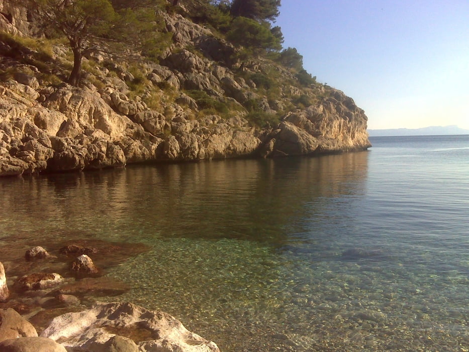
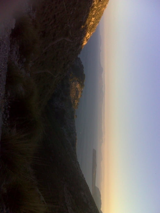
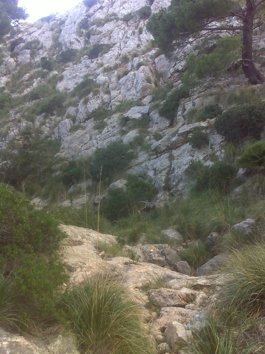
Von der Straße zum Leuchtturm bei km 15 Abstied durch Flusstal zu malerischer Bucht, Bademöglichkeit (kein Sandstrand), Aufstieg durch anderes Flusstal, danach Nutzung des alten Capweges über einen Pass mit herrlicher Aussicht, die letzten 400 m auf der Strasse zum Parkplatz
Quelle: Reiseführer
Galeria trasy
Mapa trasy i profil wysokości
Minimum height 13 m
Maximum height 242 m
Komentarze

GPS tracks
Trackpoints-
GPX / Garmin Map Source (gpx) download
-
TCX / Garmin Training Center® (tcx) download
-
CRS / Garmin Training Center® (crs) download
-
Google Earth (kml) download
-
G7ToWin (g7t) download
-
TTQV (trk) download
-
Overlay (ovl) download
-
Fugawi (txt) download
-
Kompass (DAV) Track (tk) download
-
Karta trasy (pdf) download
-
Original file of the author (gpx) download
Add to my favorites
Remove from my favorites
Edit tags
Open track
My score
Rate


