


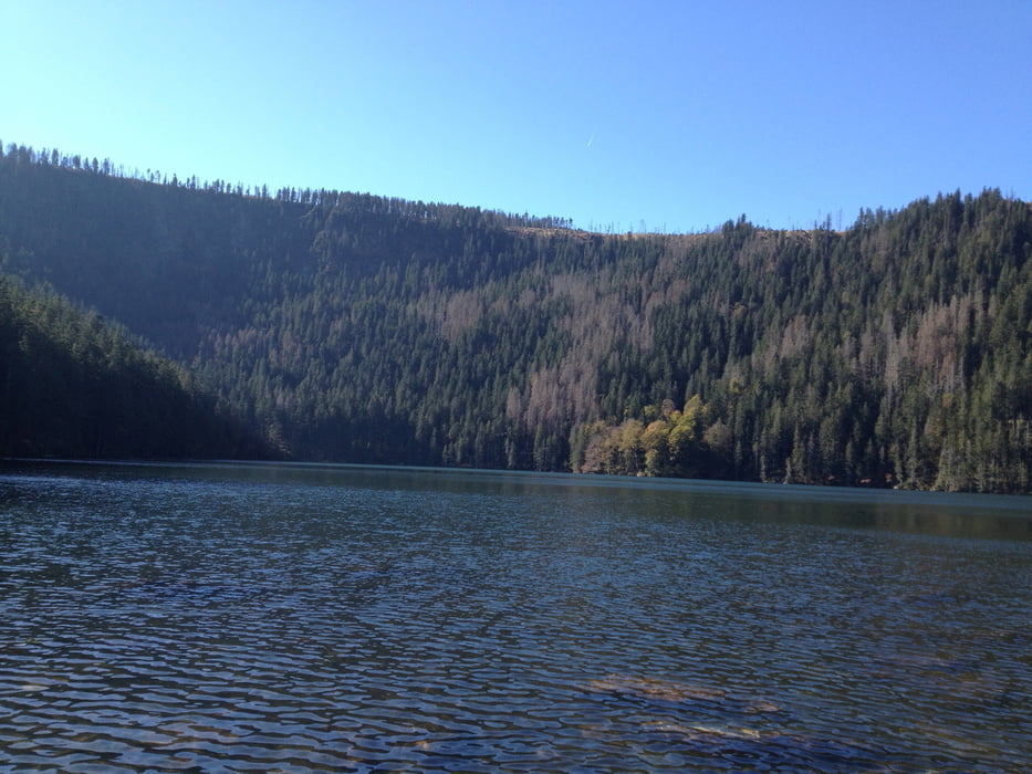
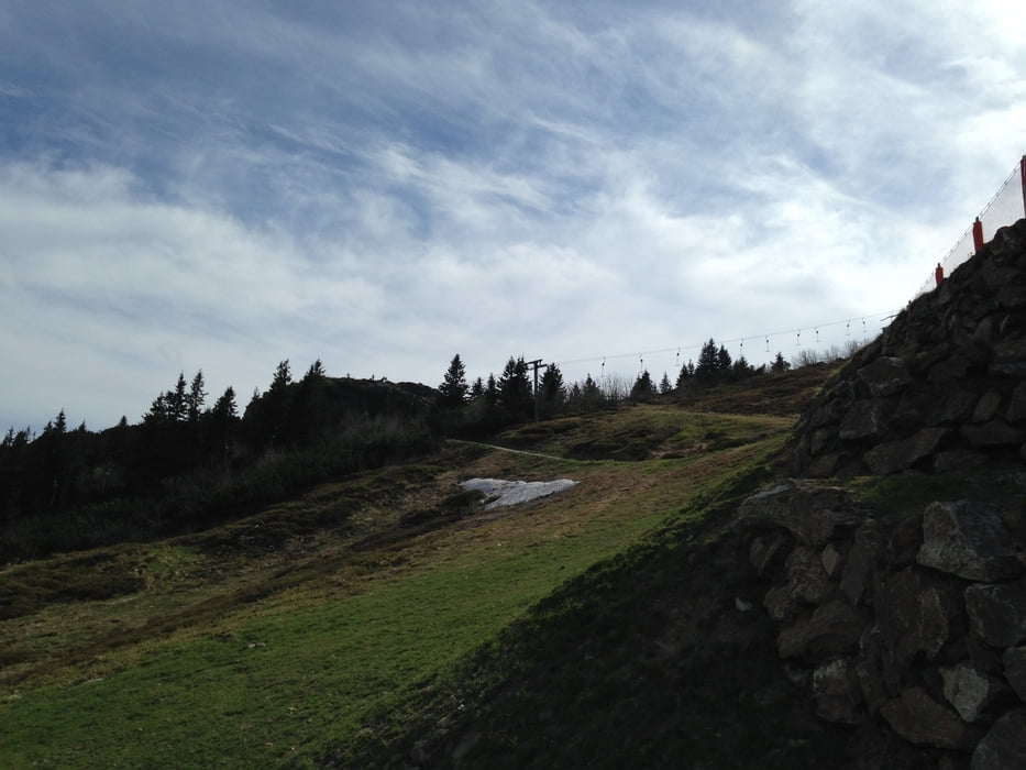
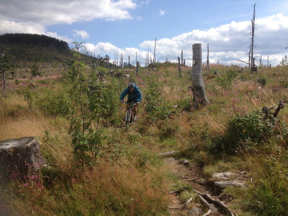
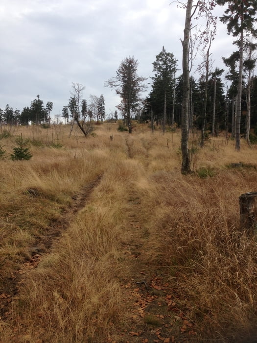
Wir starten in Lam. Auf Aspahlt gehts über den Osserparkplatz und dann auf Waldwegen Richtung Ossergipfel. Kurz vor dem Ossergipfel nehmen wir einen Waldweg über die grüne Granze nach Tschechien dort folgen wir den Weg zum Schwarzsee und weiter zum Spicaksattel. Von dort fahren wir zum Gipfel des Panzers. Ein schöner Trail führt uns nach Böhmisch Eisenstein. Auf Teer fahren wir nach Brennes und von dort auf den Arbergipfel. Wir nehmen die Schotterabfahrt Richtung kleiner Arber und biegen rechts ab auf einen Trail zur Chamer Hütte. Eine Stärkung auf der Hütte und dann gehts auf einen nahezu Endlostrail über viele 1000er Gipfel (Enzian, usw.) auf und ab bis nach Eck. Von dort nehemn wir eine kleinen Trail nach Arrach und dann auf Asphalt zurück nach Lam.
Galeria trasy
Mapa trasy i profil wysokości
Minimum height 524 m
Maximum height 1442 m
More about the tour author

|
dottore66 |
Komentarze

GPS tracks
Trackpoints-
GPX / Garmin Map Source (gpx) download
-
TCX / Garmin Training Center® (tcx) download
-
CRS / Garmin Training Center® (crs) download
-
Google Earth (kml) download
-
G7ToWin (g7t) download
-
TTQV (trk) download
-
Overlay (ovl) download
-
Fugawi (txt) download
-
Kompass (DAV) Track (tk) download
-
Karta trasy (pdf) download
-
Original file of the author (gpx) download
More about the tour author
|
|
dottore66 |
Add to my favorites
Remove from my favorites
Edit tags
Open track
My score
Rate