

Bier & Biken steht hier im Vordergrund :-)
Bahnhof Freistadt zur Braukommune auf eine erste Stärkung
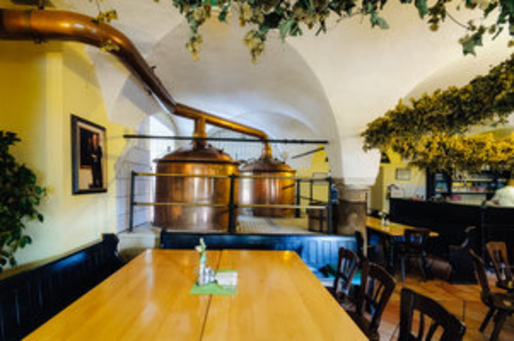
Von Freistadt gehts über Lasberg nach Kefermarkt zur Schlossbrauerei
Danach der Aist entlach in die Neustadt zur Eder Brauerei auf ein spitzen Weizenbier.
Knackige Abfahrt nach Reichenstein und aus dem Aisttal nach Tragwein zu den Beerbuddies.
Übers Kettenbachtal gehts nach Haarland zum Aschauer dem einzigen Mostbauern auf dieser
Genusstour.
Kleiner Downhill zurück zur Aist und ab nach Schwertberg zur ansässigen Brauerei.
Danach nach Mauthausen, aber nicht auf öffentlichen Strassen erwischen lassen :-)
http://www.mühlviertler-wirtshauskultur.at/wirte/freistaedter-brauhaus.htmlhttp://www.freistaedter-bier.at/
http://schlossbrauerei.at/
http://www.ederbraeu.at/
http://thebeerbuddies.gemeindeausstellung.at/
http://www.mostheuriger-aschauer.at/
http://www.schwertberger-braeu.at/
Mapa trasy i profil wysokości
Minimum height 243 m
Maximum height 643 m
More about the tour author
|
|
bipofredy |
Komentarze

GPS tracks
Trackpoints-
GPX / Garmin Map Source (gpx) download
-
TCX / Garmin Training Center® (tcx) download
-
CRS / Garmin Training Center® (crs) download
-
Google Earth (kml) download
-
G7ToWin (g7t) download
-
TTQV (trk) download
-
Overlay (ovl) download
-
Fugawi (txt) download
-
Kompass (DAV) Track (tk) download
-
Karta trasy (pdf) download
-
Original file of the author (gpx) download
More about the tour author
|
|
bipofredy |
Add to my favorites
Remove from my favorites
Edit tags
Open track
My score
Rate