

Schöne Halb/Tageswanderung mit Einkehrmöglichkeit am Waldstein und teilw,toller Fernsicht.
Viel Spaß.
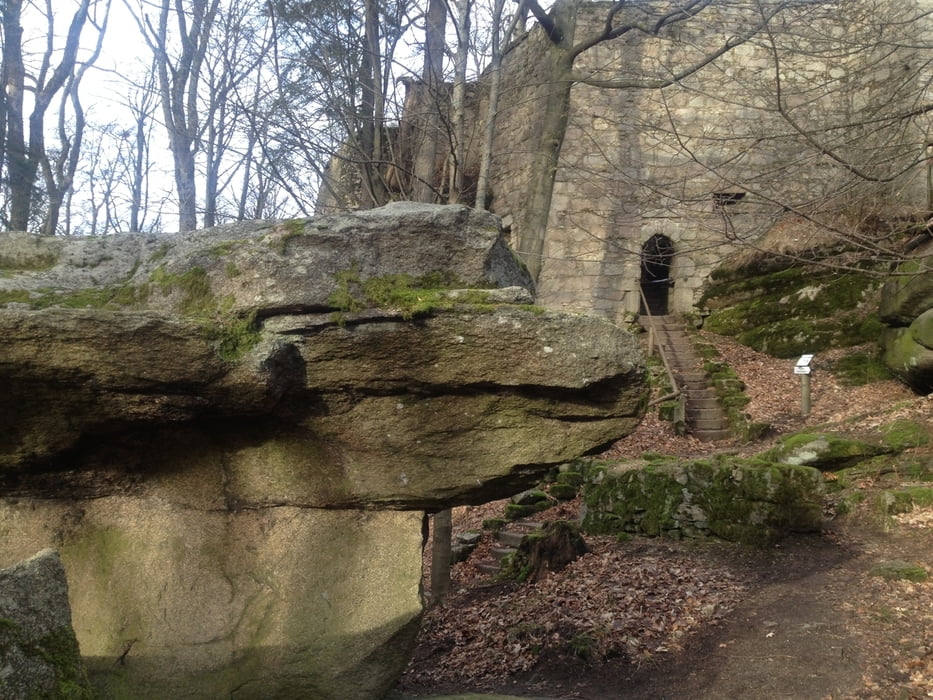
Galeria trasy


Mapa trasy i profil wysokości
Minimum height 678 m
Maximum height 857 m
More about the tour author
|
|
berndhuber |
Komentarze

A9>Gefrees>Weißenstadt>Waldstein
GPS tracks
Trackpoints-
GPX / Garmin Map Source (gpx) download
-
TCX / Garmin Training Center® (tcx) download
-
CRS / Garmin Training Center® (crs) download
-
Google Earth (kml) download
-
G7ToWin (g7t) download
-
TTQV (trk) download
-
Overlay (ovl) download
-
Fugawi (txt) download
-
Kompass (DAV) Track (tk) download
-
Karta trasy (pdf) download
-
Original file of the author (gpx) download
More about the tour author
|
|
berndhuber |
Add to my favorites
Remove from my favorites
Edit tags
Open track
My score
Rate