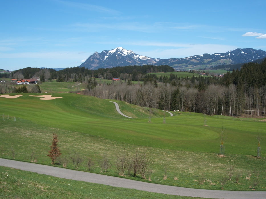
Eine schöne kleine Tour für den Sonntagnachmittag. Es geht quer durch das wunderschöne Iller-Tal. Kurze schnelle Anstiege wechseln sich mit interessanten Singletrails ab. Das Beste ist jedoch die Landschaft, die einen stets begleitet und mit herrlichen Aus- und Einblicken verwöhnt. An einigen Stellen empfiehlt es sich, kurz abzusteigen, aber es ist eigentlich gut befahrbar.
Further information at
http://www.allgaeu.info/index.shtml?amd_radsport_inlineskatingGaleria trasy
Mapa trasy i profil wysokości
Minimum height 699 m
Maximum height 934 m
Komentarze
A7 Kassel Richtung Ulm, dann weiter am Dreieck Allgäu in Richtung Oberstdorf, weiter auf der B19 bis zur Abfahrt Sonthofen-Nord
GPS tracks
Trackpoints-
GPX / Garmin Map Source (gpx) download
-
TCX / Garmin Training Center® (tcx) download
-
CRS / Garmin Training Center® (crs) download
-
Google Earth (kml) download
-
G7ToWin (g7t) download
-
TTQV (trk) download
-
Overlay (ovl) download
-
Fugawi (txt) download
-
Kompass (DAV) Track (tk) download
-
Karta trasy (pdf) download
-
Original file of the author (gpx) download
Add to my favorites
Remove from my favorites
Edit tags
Open track
My score
Rate


tolle Runde
Ich bin die Runde heute bei bestem Herbstwetter gefahren. Eine der schönsten Runden im Allgäu die ich kenne. Vor allem die verschiedenen Wegbeschaffenheiten waren toll. (coole Trails sind auch dabei)