


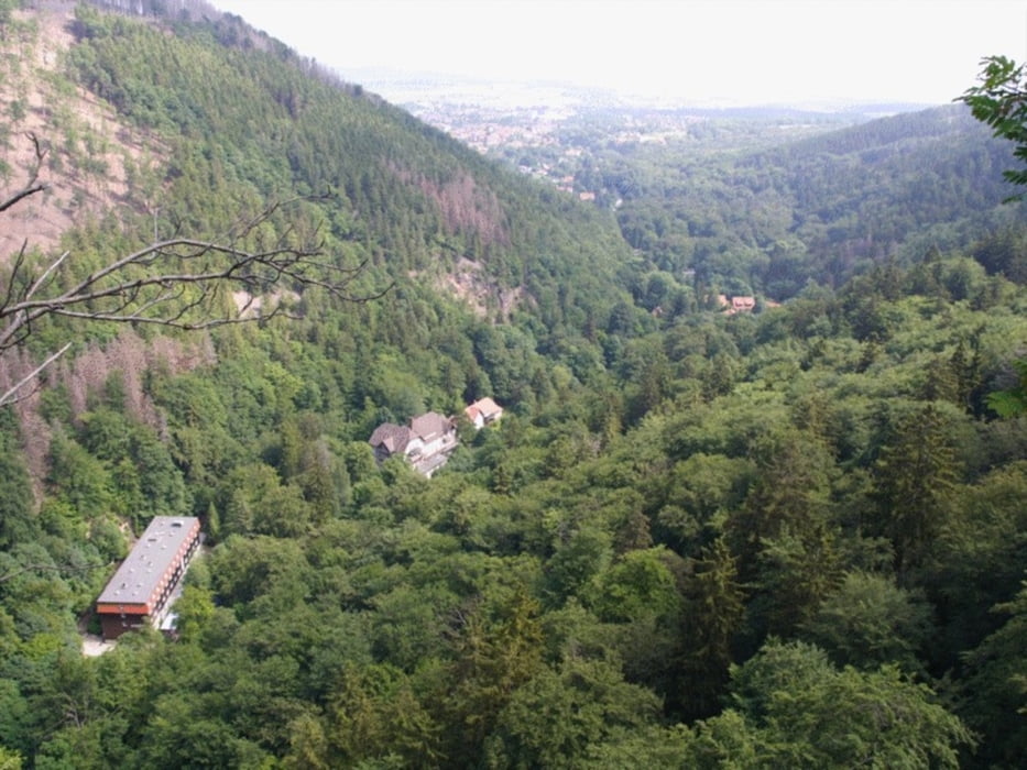
Start in Ilsenburg. nach Überquerung der Ilse erfolgt zunächst fast weglos (wohl alter, nicht mehr gepflegter Steig - Begehen auf eigene Gefahr !) später auf dem Normalweg der Aufstieg zum Ilsestein, auf dem nur 2 Personen gleichzeitig stehen können. Auf guten Wegen wird zur Plessenburg und wieder ins Ilsetal gegangen. Von dort steigt man im wohl kaum begangenen Rhontal wieder bergauf und später ebenfalls nicht markiert auf einem anfangs auch steilen aber breiten Weg in Suental, das zurück nach Ilsenburg führt.
Galeria trasy


Mapa trasy i profil wysokości
Minimum height 282 m
Maximum height 553 m
More about the tour author

|
AndreasBeckerSalzwed |
Komentarze

Ilsenburg ist über die B6n gut zu erreichen und bietet am Ortsausgang im Ilsetal auch Parkmöglichkeiten für den Tagesausflug.
GPS tracks
Trackpoints-
GPX / Garmin Map Source (gpx) download
-
TCX / Garmin Training Center® (tcx) download
-
CRS / Garmin Training Center® (crs) download
-
Google Earth (kml) download
-
G7ToWin (g7t) download
-
TTQV (trk) download
-
Overlay (ovl) download
-
Fugawi (txt) download
-
Kompass (DAV) Track (tk) download
-
Karta trasy (pdf) download
-
Original file of the author (gpx) download
More about the tour author
|
|
AndreasBeckerSalzwed |
Add to my favorites
Remove from my favorites
Edit tags
Open track
My score
Rate