


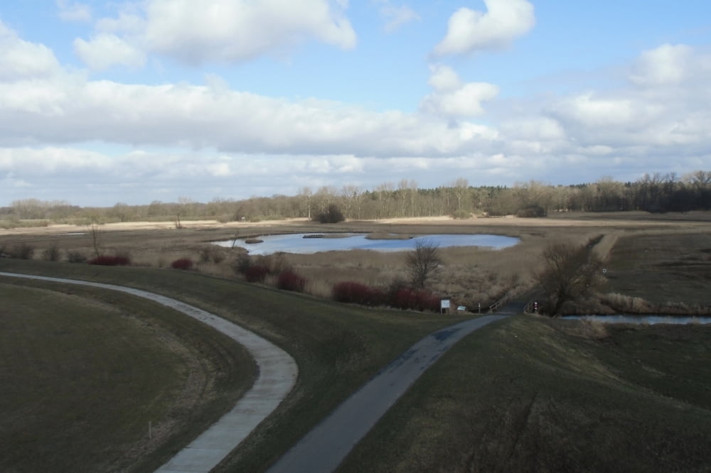
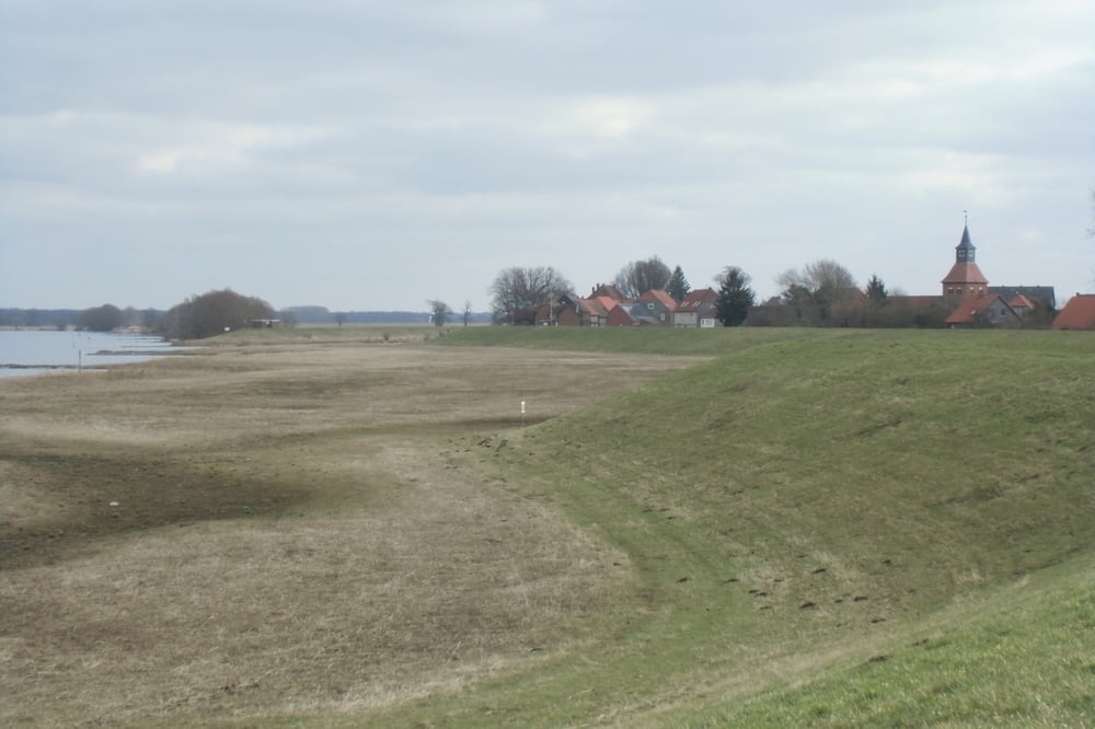
Die Wanderung beginnt in Gartow, verläuft am kleinen Gartower See, dann weiter zum Vogelbeobachtungsturm Nienwalde, von dort über die Seege anfangs einem Rundweg in Turmnähe folgend, dann kurz sumpfig weglos bis zum Wald, wo wieder ein alter Weg gefunden wird, der dann auf den Weg am Damm nach Kapern überleitet. Von hier gelangt man über Wiesenwege nach Schnackenburg, wo wie so häufig keine Gaststätte geöffnet hat, was bei der Proviantmitnahme zu beachten ist. Der Rückweg nach Gartow folgt zunächst der Elbe auf Wiesen- und Dammwegen, die dann verlassen werden um kurz weglos durch den Wald den Hauptweg nach Gartow zurück zu erreichen. Letzere ist etwas eintönig lang und verlangt zum Schluß eine Portion Demut.
Further information at
http://a-b-s.bplaced.net/Galeria trasy

Mapa trasy i profil wysokości
Minimum height 12 m
Maximum height 32 m
More about the tour author

|
AndreasBeckerSalzwed |
Komentarze

Gartow ist über die B493 oder per Bus zu erreichen
GPS tracks
Trackpoints-
GPX / Garmin Map Source (gpx) download
-
TCX / Garmin Training Center® (tcx) download
-
CRS / Garmin Training Center® (crs) download
-
Google Earth (kml) download
-
G7ToWin (g7t) download
-
TTQV (trk) download
-
Overlay (ovl) download
-
Fugawi (txt) download
-
Kompass (DAV) Track (tk) download
-
Karta trasy (pdf) download
-
Original file of the author (gpx) download
More about the tour author
|
|
AndreasBeckerSalzwed |
Add to my favorites
Remove from my favorites
Edit tags
Open track
My score
Rate