
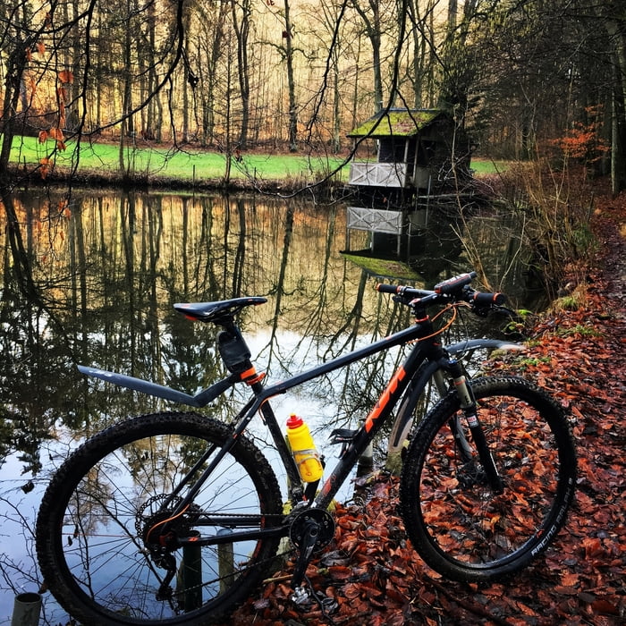

Die Runde habe ich Holzhacker getauft, weil ausgerechnet heute viel gefälltes Holz herum lag. Ich denke das wird aber bald weg sein. Viele Trail-Abschnitte, ggf. auch mal ein paar Trage-Meter (je nach Fahrkönnen) . Ich musste oft absteigen und über gefällte Bäume und Schnittgut stapfen, außerdem war der Boden frisch aufgetaut, so dass ich viele Körner in den Boden getreten habe . Ich freue mich schon auf trockenen Untergrund und freigeräumte Strecke , dann wird’s sicher auch in 3,5 Stunden zu machen sein. Viel Spaß euch !
Galeria trasy

Mapa trasy i profil wysokości
Minimum height 384 m
Maximum height 513 m
More about the tour author
|
|
UweEibel |
Komentarze

Einstieg wieder optimal bei TUS Berg ....
GPS tracks
Trackpoints-
GPX / Garmin Map Source (gpx) download
-
TCX / Garmin Training Center® (tcx) download
-
CRS / Garmin Training Center® (crs) download
-
Google Earth (kml) download
-
G7ToWin (g7t) download
-
TTQV (trk) download
-
Overlay (ovl) download
-
Fugawi (txt) download
-
Kompass (DAV) Track (tk) download
-
Karta trasy (pdf) download
-
Original file of the author (gpx) download
More about the tour author
|
|
UweEibel |
Add to my favorites
Remove from my favorites
Edit tags
Open track
My score
Rate