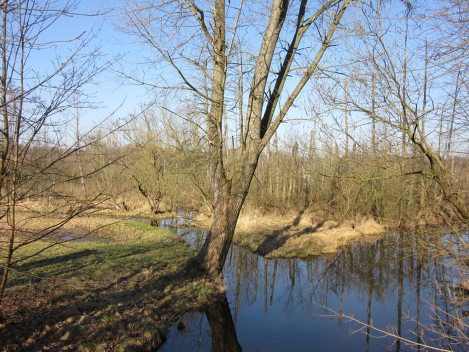
Kalt, aber schön - noch am Nachmittag lag an schattigen Stellen Raureif auf den Blättern. Ruhige Wasserflächen waren mit hauchdünnem Eis überzogen.
Leider ist das Fließ auch nicht mehr, was es mal war. Nein, die Landschaft ist immer noch schön. Wurden vor 10 Jahren die Wege mit fußgängerfreundlichem, wenn auch schnell vergänglichem Rindenmulch ausgebessert, wurden in den letzten Jahren die Wege mit knirschendem Splitt verschlimmbessert. Kurz vor Lübars sind die Bauarbeiten noch im Gange, leider ohne jeden Hinweis, so daß sich jeder seinen eigenen Weg über die sumpfigen Wiesen sucht.
Die Wege zwischen Blankenfelde und Mönchmühle hat's z.T. aber noch ärger getroffen, sie sind teilweise mit grobem Steinsplitt zugeschüttet.
Further information at
http://xxrhahn.de/touren/tegeler-fliess-2016/index.htmlGaleria trasy
Mapa trasy i profil wysokości
Komentarze

Mit U- oder S-Bahn bis Tegel
zurück mit der S-Bahn über Birkenwerder oder Blankenburg (Zone C),
ggf. schon ab Blankenfelde mit Bus 107
GPS tracks
Trackpoints-
GPX / Garmin Map Source (gpx) download
-
TCX / Garmin Training Center® (tcx) download
-
CRS / Garmin Training Center® (crs) download
-
Google Earth (kml) download
-
G7ToWin (g7t) download
-
TTQV (trk) download
-
Overlay (ovl) download
-
Fugawi (txt) download
-
Kompass (DAV) Track (tk) download
-
Karta trasy (pdf) download
-
Original file of the author (gpx) download


