
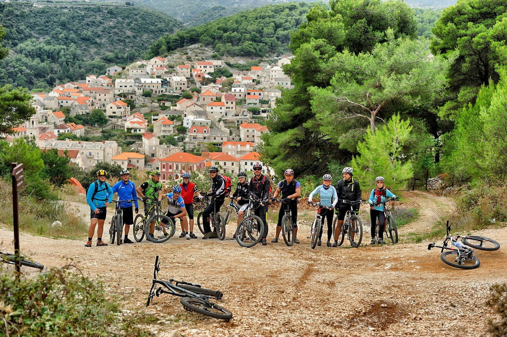

Ova umjerena staza pruža otvoreni pogled prema kopnu te prolazak kroz lokalna mjesta i poljoprivredne predjele otoka. Duž vožnje poučnim stazama proći ćete pored predivnih maslinika i kroz malo autohtono selo Dol. Staza sadrži dugotrajniji i strmiji uspon pa će odgovarati vozačima sa srednjom tjelesnom pripremom.
This moderate trail offers open view towards mainland and it passes through local settlements and agricultural areas of the island. During the ride on educational trails you will pass along beautiful olive groves and through a small indigenous village. The trail contains a longer and steeper climb and therefore it is suited for MTB riders in moderate physical condition.
Galeria trasy


Mapa trasy i profil wysokości
Minimum height -5 m
Maximum height 641 m
More about the tour author
|
|
AdriaBikeHotels |
Komentarze

GPS tracks
Trackpoints-
GPX / Garmin Map Source (gpx) download
-
TCX / Garmin Training Center® (tcx) download
-
CRS / Garmin Training Center® (crs) download
-
Google Earth (kml) download
-
G7ToWin (g7t) download
-
TTQV (trk) download
-
Overlay (ovl) download
-
Fugawi (txt) download
-
Kompass (DAV) Track (tk) download
-
Karta trasy (pdf) download
-
Original file of the author (gpx) download
More about the tour author
|
|
AdriaBikeHotels |
Add to my favorites
Remove from my favorites
Edit tags
Open track
My score
Rate