
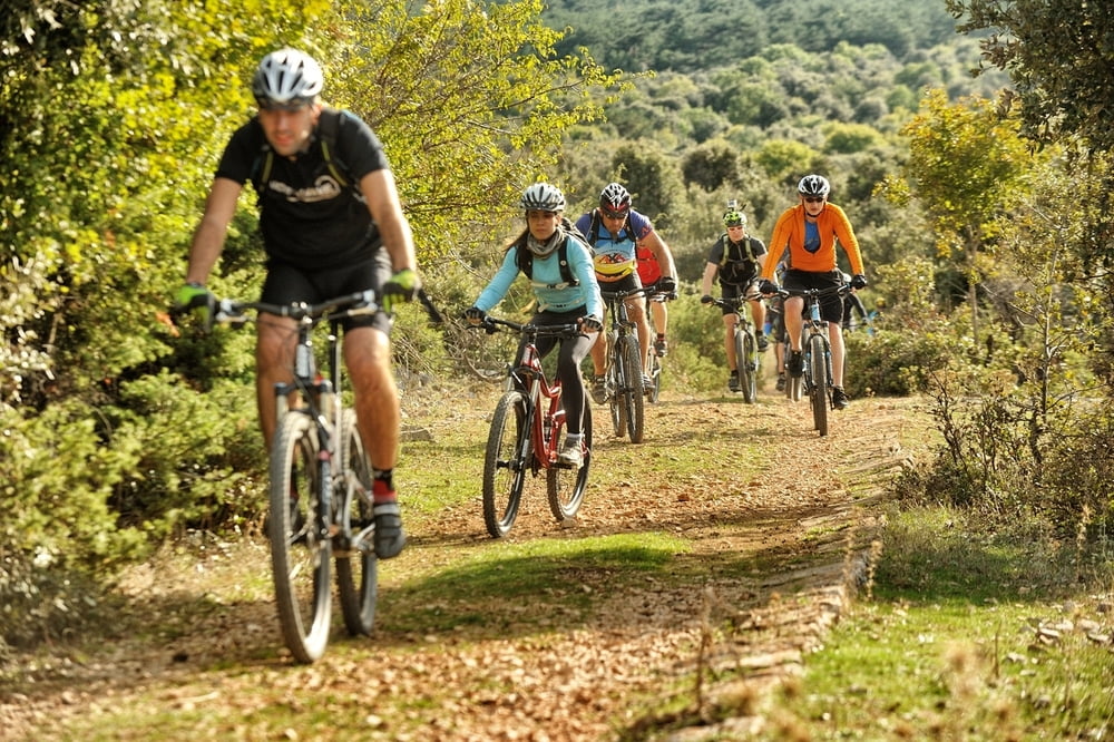

Kratka i dinamična ruta koju je moguće odvoziti i više puta uzastopce. Staza je fizički nezahtjevna ali nudi tehnički umjereno zahtjevnu vožnju i kao takva idealna je za MTB vozače koji su u potrazi za zabavnijom vožnjom. Namijenjena je MTB vozačima osnovne tjelesne spremnosti sa solidnim tehničkim znanjem.
Napomena: Start i cilj ove kružne staze je u Gornjem Humcu
A short and dynamic route which can be ridden several times in succession. The track is physically non demanding, but it offers a technically mildly demanding ride and as such it is ideal for MTB riders who are searching for a more entertaining ride. It is intended for MTB riders in basic physical condition with solid technical skills.
Galeria trasy


Mapa trasy i profil wysokości
Minimum height 386 m
Maximum height 520 m
More about the tour author
|
|
AdriaBikeHotels |
Komentarze

GPS tracks
Trackpoints-
GPX / Garmin Map Source (gpx) download
-
TCX / Garmin Training Center® (tcx) download
-
CRS / Garmin Training Center® (crs) download
-
Google Earth (kml) download
-
G7ToWin (g7t) download
-
TTQV (trk) download
-
Overlay (ovl) download
-
Fugawi (txt) download
-
Kompass (DAV) Track (tk) download
-
Karta trasy (pdf) download
-
Original file of the author (gpx) download
More about the tour author
|
|
AdriaBikeHotels |
Add to my favorites
Remove from my favorites
Edit tags
Open track
My score
Rate