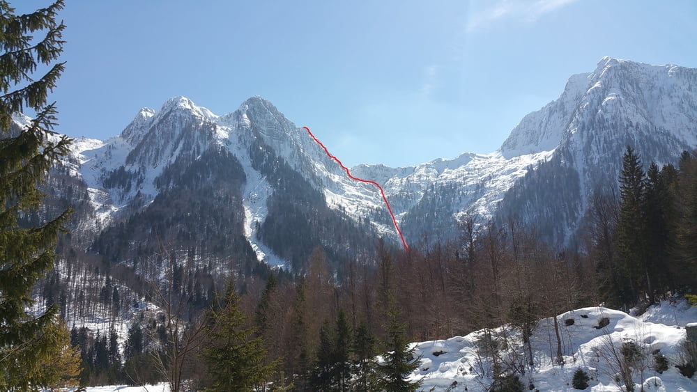
per descrizione itinerario vedi link:
https://calcarea.wordpress.com/2014/03/18/cima-mogenza-grande-dal-rio-del-lago/
Further information at
https://plus.google.com/u/0/+Paolodallegrave/posts/BYHtk99ccXP?pid=6264211169042720546&oid=102264994381215387630Galeria trasy
Mapa trasy i profil wysokości
Minimum height 973 m
Maximum height 1916 m
Komentarze

GPS tracks
Trackpoints-
GPX / Garmin Map Source (gpx) download
-
TCX / Garmin Training Center® (tcx) download
-
CRS / Garmin Training Center® (crs) download
-
Google Earth (kml) download
-
G7ToWin (g7t) download
-
TTQV (trk) download
-
Overlay (ovl) download
-
Fugawi (txt) download
-
Kompass (DAV) Track (tk) download
-
Karta trasy (pdf) download
-
Original file of the author (gpx) download
Add to my favorites
Remove from my favorites
Edit tags
Open track
My score
Rate


