Login

Zapomniałeś swój login?

Cookies have to be accepted!
Your browser's cookie functionality is disabled. Please enable this functionality.

Not a member yet?

Register now
Login

Available for registred users only

Log in to use this feature.

Zapomniałeś swój login?

Cookies have to be accepted!
Your browser's cookie functionality is disabled. Please enable this functionality.

Not a member yet?

Register now
Filter
Kategorie
Advanced filters
  • Długość (km)
  • Wysokość
Zapisz filtr Reset filter

TrackRank

QRCode

Technical data

Długość134,9 km Wysokość2993 m Way down3028 m Czas trwania10:20 h:m Data02.04.2016
Oceny Author Krajobraz Czynnik zadowolenia Kondycja Technika

Statystyka

298 Widoki Oceny 22 Downloads / Pliki do pobrania Przeciętnie
Rate
  • Karta trasy
  • Dojazd
  • Downloads / Pliki do pobrania

Eine zweitägige Ausfahrt von Wien aus war das Objektiv.

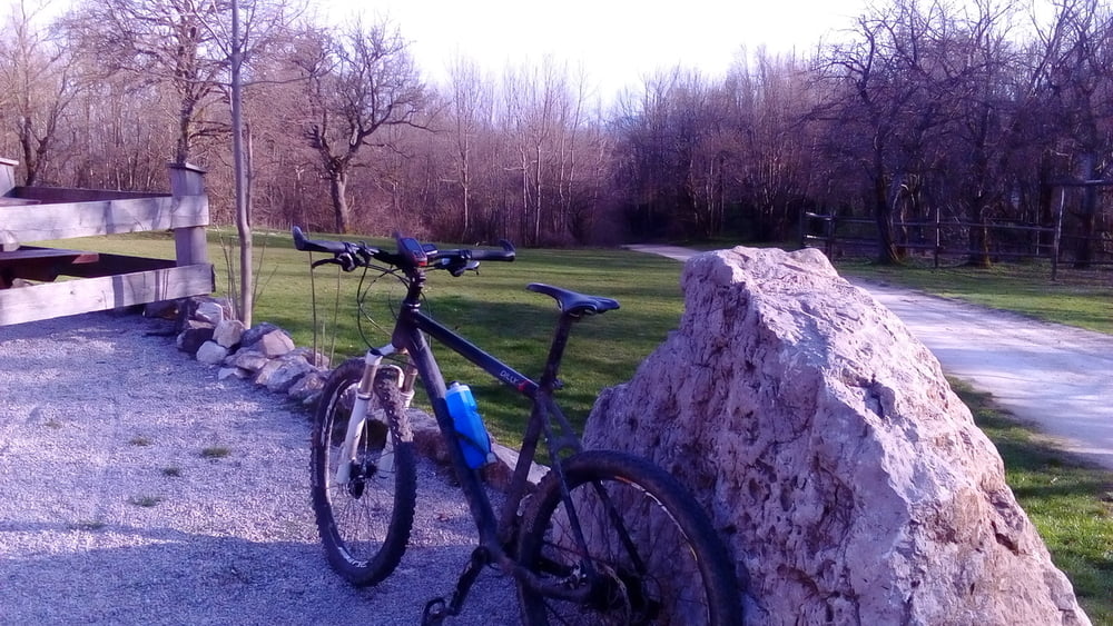
1. Tag bei herrlichem Wetter über den großen Sattel nach Hinterbrühl zum Anninger. Auf den Peilstein bin ich von hinten. Großteils gut fahrbar mit ein paar guten singletrails.
56km, 1638hm, 4h32'

Übernachtung im Gasthof am Holzschlag unterhalb vom Peilstein: NF 36€, ok.


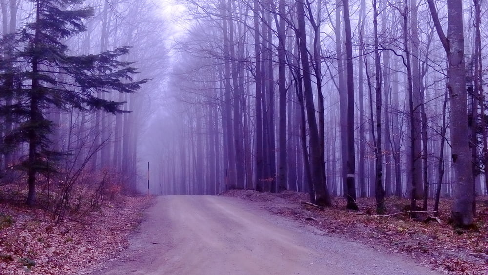
2. Tag bei trübem, frischen Wetter über die höchste Erhebung des Wienerwaldes.
78km, 1605hm, 5h48'

Insgesamt ist die Runde ganz ok.
 

Galeria trasy

Mapa trasy i profil wysokości

  • Open Street Map
  • Google
Minimum height 180 m Maximum height 851 m Widok szczegółowy

More about the tour author

mitter
Member since 2008

Send private message

Komentarze

Start in Meidling Nähe Bahnhof.


GPS tracks

Trackpoints
  • GPX / Garmin Map Source (gpx) download
  • TCX / Garmin Training Center® (tcx) download
  • CRS / Garmin Training Center® (crs) download
  • Google Earth (kml) download
  • G7ToWin (g7t) download
  • TTQV (trk) download
  • Overlay (ovl) download
  • Fugawi (txt) download
  • Kompass (DAV) Track (tk) download
  • Karta trasy (pdf) download
  • Original file of the author (gpx) download

More about the tour author

mitter
Member since 2008

Send private message
Share track
Add to my favorites
Remove from my favorites
Edit tags
My score
Rate
Trasa: Wienerwaldberge 160401 (2 Tage)
Rodzaj: Rower górski (MTB)
Długość: 134,9 km
Evaluated on:
Czas trwania:
Day(s)
Hour(s)
Minute(s)
Ocena: Krajobraz Czynnik zadowolenia Kondycja Technika