

Die Tour startet am Parkplatz vom Hanweiler Sattel zwischen Korb und Hanweiler.
Dieser liegt an der Matreier Straße 71404 Korb.
Die kleine nette Wanderung führt an der Downhill Strecke von Korb vorbei,wenn man Glück hat sieht man hier die Jungs die Spaß am Biken haben.
Es geht immer schön im Wald Richtung Kreuzeiche ,dies ist ein Treffpunkt für Endurofans,Walker und Leute die Freude an der Natur erleben möchten.
Von dort geht es über verschlungene Wege Richtung Hörnles Kopf mit seiner super Aussicht ( lasst euch überraschen. ).
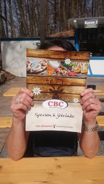
Nach einem kleinen steinigen verblockten Abstieg geht es Richtung Korber Biergarten CBC
Mapa trasy i profil wysokości
Minimum height 364 m
Maximum height 445 m
More about the tour author

|
Felt2009 |
Komentarze

Matreier Straße richtung Hanweiler
Hier die Daten für das Navi
GPS tracks
Trackpoints-
GPX / Garmin Map Source (gpx) download
-
TCX / Garmin Training Center® (tcx) download
-
CRS / Garmin Training Center® (crs) download
-
Google Earth (kml) download
-
G7ToWin (g7t) download
-
TTQV (trk) download
-
Overlay (ovl) download
-
Fugawi (txt) download
-
Kompass (DAV) Track (tk) download
-
Karta trasy (pdf) download
-
Original file of the author (gpx) download
More about the tour author
|
|
Felt2009 |
Add to my favorites
Remove from my favorites
Edit tags
Open track
My score
Rate