

Wenn's mal a bisserl mehr sein darf: "Rund um den Hochries."
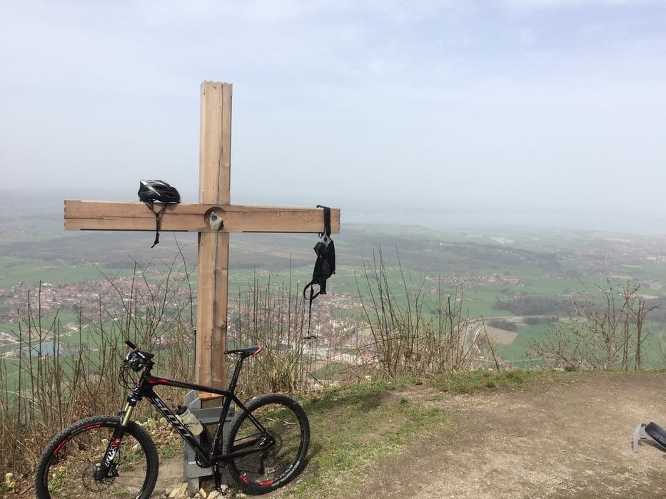
Start in Marquartstein, über Hängthal rauf zur Schnappenkapelle. Beste Sicht auf den Chiemsee. Dann eine kurze Schiebe- und Tragepassage auf den Schnappenberg (1260). Danach runter auf etwa 800m und wieder hoch zur Vorderalm und weiter rauf auf den Bairerkopf (1286). Dann gings sehr unkomfortabel runter Richtung Staudach, über Mühlwinkel zurück nach Marquartstein.
Start in Marquartstein, über Hängthal rauf zur Schnappenkapelle. Beste Sicht auf den Chiemsee. Dann eine kurze Schiebe- und Tragepassage auf den Schnappenberg (1260). Danach runter auf etwa 800m und wieder hoch zur Vorderalm und weiter rauf auf den Bairerkopf (1286). Dann gings sehr unkomfortabel runter Richtung Staudach, über Mühlwinkel zurück nach Marquartstein.
Mapa trasy i profil wysokości
Minimum height 541 m
Maximum height 1203 m
More about the tour author
|
|
kiefinger |
Komentarze

Start und Ende in Marquartstein
GPS tracks
Trackpoints-
GPX / Garmin Map Source (gpx) download
-
TCX / Garmin Training Center® (tcx) download
-
CRS / Garmin Training Center® (crs) download
-
Google Earth (kml) download
-
G7ToWin (g7t) download
-
TTQV (trk) download
-
Overlay (ovl) download
-
Fugawi (txt) download
-
Kompass (DAV) Track (tk) download
-
Karta trasy (pdf) download
-
Original file of the author (gpx) download
More about the tour author
|
|
kiefinger |
Add to my favorites
Remove from my favorites
Edit tags
Open track
My score
Rate