


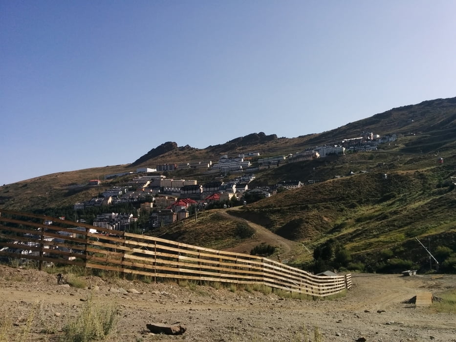
I started in camping Reina Isabel, La Zubia. I drove towards Granada and in roundabout right toward Monachil. Later I found direct route from La Zubia to Monachil.
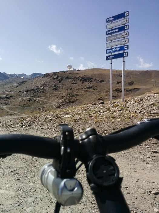
In Monachil I turned left - direction Sierra Nevada. In Sierra Nevada I made mistake and first climb on Loma de Dilar (2896m) (mostly unpaved road). From there I saw Pico del Veleta (3396) and did some more kilometers to the summit.
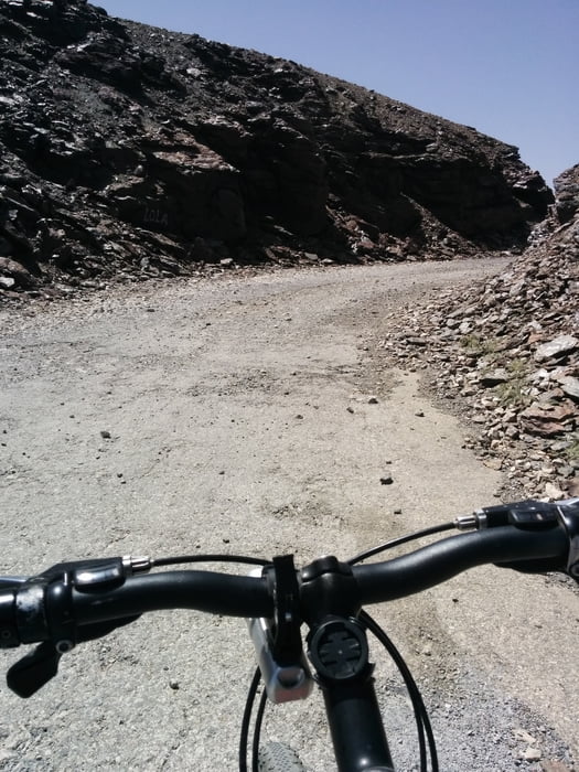
There is direct paved road from Sierra Nevada to Veleta. On some sections road is in bad conditions but mostly you can did it with road bike.
Galeria trasy
Mapa trasy i profil wysokości
Minimum height 690 m
Maximum height 3372 m
More about the tour author
|
|
jstaric |
Komentarze

GPS tracks
Trackpoints-
GPX / Garmin Map Source (gpx) download
-
TCX / Garmin Training Center® (tcx) download
-
CRS / Garmin Training Center® (crs) download
-
Google Earth (kml) download
-
G7ToWin (g7t) download
-
TTQV (trk) download
-
Overlay (ovl) download
-
Fugawi (txt) download
-
Kompass (DAV) Track (tk) download
-
Karta trasy (pdf) download
-
Original file of the author (gpx) download
More about the tour author
|
|
jstaric |
Add to my favorites
Remove from my favorites
Edit tags
Open track
My score
Rate