Login

Zapomniałeś swój login?

Cookies have to be accepted!
Your browser's cookie functionality is disabled. Please enable this functionality.

Not a member yet?

Register now
Login

Available for registred users only

Log in to use this feature.

Zapomniałeś swój login?

Cookies have to be accepted!
Your browser's cookie functionality is disabled. Please enable this functionality.

Not a member yet?

Register now
Filter
Kategorie
Advanced filters
  • Długość (km)
  • Wysokość
Zapisz filtr Reset filter

TrackRank

QRCode

Technical data

Długość18,3 km Wysokość1275 m Way down1295 m Czas trwania05:55 h:m Data10.04.2016
Oceny Author Krajobraz Czynnik zadowolenia Kondycja Technika

Statystyka

460 Widoki Oceny 55 Downloads / Pliki do pobrania Przeciętnie
Rate
  • Karta trasy
  • Dojazd
  • Downloads / Pliki do pobrania

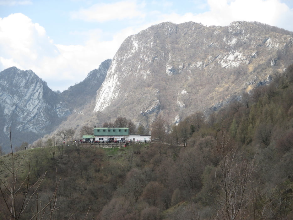
Escursione abbastanza impegnativa dato la lunghezza importante del percorso, il dislivello non troppo esagerato,ha reso meno impegnativa  l'escursione. Comunque ottima passeggiata.


Further information at

https://www.google.it/webhp?sourceid=chrome-instant&ion=1&espv=2&ie=UTF-8#q=rif.%20pirlo%20allo%20spino

Galeria trasy

Mapa trasy i profil wysokości

  • Open Street Map
  • Google
Minimum height 390 m Maximum height 1200 m Widok szczegółowy

More about the tour author

agosflavio
Member since 2013

Send private message

Komentarze

GPS tracks

Trackpoints
  • GPX / Garmin Map Source (gpx) download
  • TCX / Garmin Training Center® (tcx) download
  • CRS / Garmin Training Center® (crs) download
  • Google Earth (kml) download
  • G7ToWin (g7t) download
  • TTQV (trk) download
  • Overlay (ovl) download
  • Fugawi (txt) download
  • Kompass (DAV) Track (tk) download
  • Karta trasy (pdf) download
  • Original file of the author (gpx) download

More about the tour author

agosflavio
Member since 2013

Send private message
Share track
Add to my favorites
Remove from my favorites
Edit tags
My score
Rate
Trasa: Escursione da S. Michele a rifugio Giorgio Pirlo allo Spino
Rodzaj: Wędrówki
Długość: 18,3 km
Evaluated on:
Czas trwania:
Day(s)
Hour(s)
Minute(s)
Ocena: Krajobraz Czynnik zadowolenia Kondycja Technika