Login

Zapomniałeś swój login?

Cookies have to be accepted!
Your browser's cookie functionality is disabled. Please enable this functionality.

Not a member yet?

Register now
Login

Available for registred users only

Log in to use this feature.

Zapomniałeś swój login?

Cookies have to be accepted!
Your browser's cookie functionality is disabled. Please enable this functionality.

Not a member yet?

Register now
Filter
Kategorie
Advanced filters
  • Długość (km)
  • Wysokość
Zapisz filtr Reset filter

TrackRank

QRCode

Technical data

Długość4,5 km Wysokość198 m Way down184 m Czas trwania01:20 h:m Data12.04.2016
Oceny Author Krajobraz Czynnik zadowolenia Kondycja Technika

Statystyka

398 Widoki Oceny 45 Downloads / Pliki do pobrania Przeciętnie
Rate
  • Karta trasy
  • Dojazd
  • Downloads / Pliki do pobrania
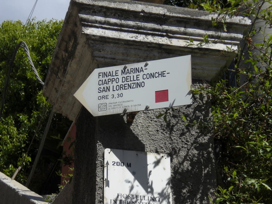
vom Camping Tahiti nach Finale reingelaufen und dort die ca. 500 Stufen hoch Richtung Castello. Man kommt an der Jugendherberge vorbei und der Weg führt steil bergauf bis hin zu einem kleinen Plätzchen mit Steinbänken. Hier haben wir Pause gemacht und über die Dächer von Finale geschaut. Man hat in alle Richtungen eine gute Aussicht. Der Rückweg führt ein klein wenig anders zurück. Auf der Suche nach einem anderen Pfad sind wir dann die Strasse runtergelaufen.

Galeria trasy

Mapa trasy i profil wysokości

  • Open Street Map
  • Google
Minimum height -9 m Maximum height 194 m Widok szczegółowy

More about the tour author

Fruehaufsteher
Member since 2008

Send private message

Komentarze

GPS tracks

Trackpoints
  • GPX / Garmin Map Source (gpx) download
  • TCX / Garmin Training Center® (tcx) download
  • CRS / Garmin Training Center® (crs) download
  • Google Earth (kml) download
  • G7ToWin (g7t) download
  • TTQV (trk) download
  • Overlay (ovl) download
  • Fugawi (txt) download
  • Kompass (DAV) Track (tk) download
  • Karta trasy (pdf) download
  • Original file of the author (gpx) download

More about the tour author

Fruehaufsteher
Member since 2008

Send private message
Share track
Add to my favorites
Remove from my favorites
Edit tags
My score
Rate
Trasa: Finale Ligure - Aussicht San Bernardino
Rodzaj: Wędrówki
Długość: 4,5 km
Evaluated on:
Czas trwania:
Day(s)
Hour(s)
Minute(s)
Ocena: Krajobraz Czynnik zadowolenia Kondycja Technika