


Rundtour
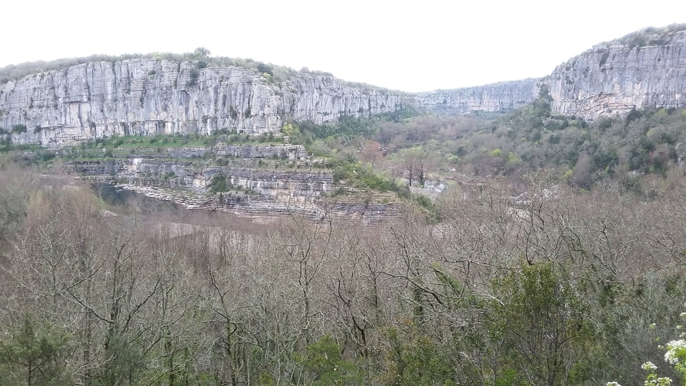
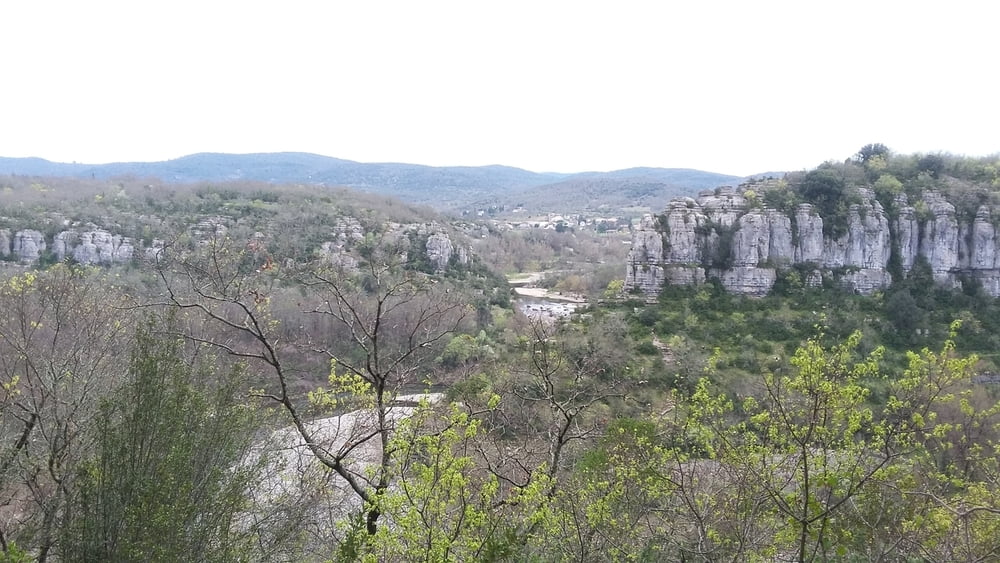
Der erste Teil der Wanderung führt direkt unterhalb der Felsen an der Hangkante entlang. Ab und zu gibt es ein paar Stellen, die etwas ausgesetzt sind und ein gewisses Maß an Trittsicherheit verlangen. Es gibt immerfort tolle Ausblicke ins Ardechetal, das in diesem Bereich von Felswänden eingefaßt ist. An den Felsen oberhalb des Weges kann man oft Kletterer beobachten. Die Runde schließt sich mit einen Weg übers Plateau, der durch eine herrliche Karstlandschaft führt.
Galeria trasy

Mapa trasy i profil wysokości
Minimum height 99999 m
Maximum height -99999 m
More about the tour author

|
josiliti |
Komentarze

Von Vallon-Pont-d’Arc kommend, durch Ruoms Richtung Aubenas auf der D579. In Pradons abbiegen Richtung Chauzon. Über die Ardechebrücke und direkt nach der Brücke gerade aus zum Parkplatz.
GPS tracks
Trackpoints-
GPX / Garmin Map Source (gpx) download
-
TCX / Garmin Training Center® (tcx) download
-
CRS / Garmin Training Center® (crs) download
-
Google Earth (kml) download
-
G7ToWin (g7t) download
-
TTQV (trk) download
-
Overlay (ovl) download
-
Fugawi (txt) download
-
Kompass (DAV) Track (tk) download
-
Karta trasy (pdf) download
-
Original file of the author (gpx) download
More about the tour author
|
|
josiliti |
Add to my favorites
Remove from my favorites
Edit tags
Open track
My score
Rate