Start der Tour ist beim "Billa" in Unterwaltersdorf.
Die Tour verläuft über Feld- und Radwege durch Deutsch- und Leithaprodersdorf nach Stotzing und in die Waldrandsiedlung von Loretto.
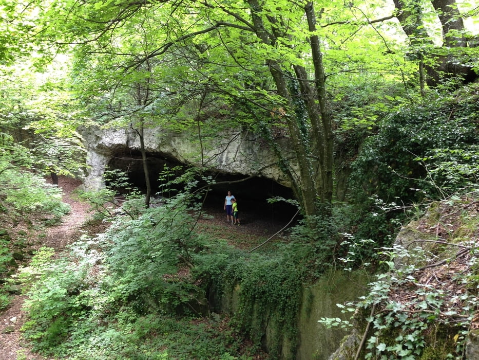
Ab hier geht es über MTB-Strecken und Forststraßen zur Kürschnergrube und zum Sonnenberg (höchster Berg vom Leithagebirge).
Vom Sonnenberg geht es bergab Richtung Wimpassing und Wampersdorf, danach über Feldwege zurück nach Unterwaltersdorf.
Further information at
http://www.naturgenuss-neusiedlersee.at/natur-erlebnis-orte/kuerschner-grube/ID33/Galeria trasy
Mapa trasy i profil wysokości
Minimum height 193 m
Maximum height 499 m
Komentarze

Parkmöglichkeit in Unterwaltersdorf
GPS tracks
Trackpoints-
GPX / Garmin Map Source (gpx) download
-
TCX / Garmin Training Center® (tcx) download
-
CRS / Garmin Training Center® (crs) download
-
Google Earth (kml) download
-
G7ToWin (g7t) download
-
TTQV (trk) download
-
Overlay (ovl) download
-
Fugawi (txt) download
-
Kompass (DAV) Track (tk) download
-
Karta trasy (pdf) download
-
Original file of the author (gpx) download
Add to my favorites
Remove from my favorites
Edit tags
Open track
My score
Rate


