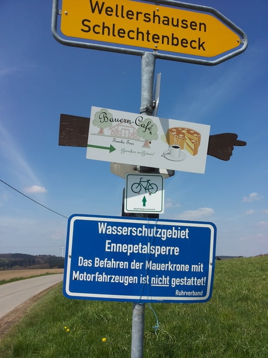
Start in der Falkenstraße; (die Tour war am 2. Mai, aber ich weiß nicht, wie man das Datum ändern kann), durch die Innenstadt und über den Höveler Weg in das Ilexwäldchen hinunter ins Ennepetal. Ri. B 229 über Büchermühle hoch nach Büchenbaum und Schwenke auf den neuen Radweg nach Rade. Kurzer Besuch beim Bikehändler und weiter nach Wellershausen, wieder hinunter ins Ennepetal und zurück nach Hause. Die Touren werden länger und ich freue mich auf den Frühling.
Galeria trasy
Mapa trasy i profil wysokości
Minimum height 312 m
Maximum height 441 m
Komentarze

GPS tracks
Trackpoints-
GPX / Garmin Map Source (gpx) download
-
TCX / Garmin Training Center® (tcx) download
-
CRS / Garmin Training Center® (crs) download
-
Google Earth (kml) download
-
G7ToWin (g7t) download
-
TTQV (trk) download
-
Overlay (ovl) download
-
Fugawi (txt) download
-
Kompass (DAV) Track (tk) download
-
Karta trasy (pdf) download
-
Original file of the author (gpx) download
Add to my favorites
Remove from my favorites
Edit tags
Open track
My score
Rate


