Login

Zapomniałeś swój login?

Cookies have to be accepted!
Your browser's cookie functionality is disabled. Please enable this functionality.

Not a member yet?

Register now
Login

Available for registred users only

Log in to use this feature.

Zapomniałeś swój login?

Cookies have to be accepted!
Your browser's cookie functionality is disabled. Please enable this functionality.

Not a member yet?

Register now
Filter
Kategorie
Advanced filters
  • Długość (km)
  • Wysokość
Zapisz filtr Reset filter

TrackRank

QRCode

Technical data

Długość19,8 km Wysokość364 m Way down365 m Czas trwania02:00 h:m Data11.05.2016
Oceny Author Krajobraz Czynnik zadowolenia Kondycja Technika

Statystyka

201 Widoki Oceny 10 Downloads / Pliki do pobrania Przeciętnie
Rate
  • Karta trasy
  • Dojazd
  • Downloads / Pliki do pobrania
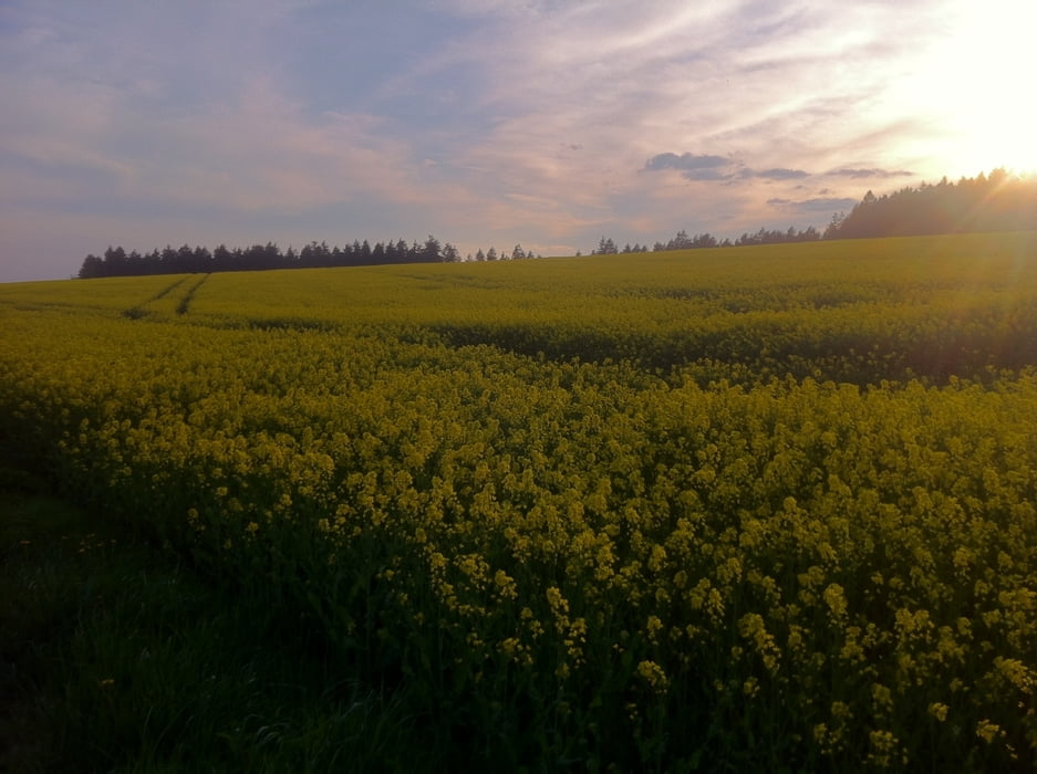
Eine solide Feierabendrunde im Vogtland. Die Strecke führt uns über Feld, Wald und schöne kleine Ortschaften. Ca. 60% Asphaltanteil.

Further information at

https://de.wikipedia.org/wiki/Wernesgr%C3%BCn

Galeria trasy

Mapa trasy i profil wysokości

  • Open Street Map
  • Google
Minimum height 438 m Maximum height 709 m Widok szczegółowy

More about the tour author

thheinz
Member since 2014

Send private message

Komentarze

GPS tracks

Trackpoints
  • GPX / Garmin Map Source (gpx) download
  • TCX / Garmin Training Center® (tcx) download
  • CRS / Garmin Training Center® (crs) download
  • Google Earth (kml) download
  • G7ToWin (g7t) download
  • TTQV (trk) download
  • Overlay (ovl) download
  • Fugawi (txt) download
  • Kompass (DAV) Track (tk) download
  • Karta trasy (pdf) download
  • Original file of the author (gpx) download

More about the tour author

thheinz
Member since 2014

Send private message
Share track
Add to my favorites
Remove from my favorites
Edit tags
My score
Rate
Trasa: Einmal rund um Wernesgrün
Rodzaj: Rower górski (MTB)
Długość: 19,8 km
Evaluated on:
Czas trwania:
Day(s)
Hour(s)
Minute(s)
Ocena: Krajobraz Czynnik zadowolenia Kondycja Technika