


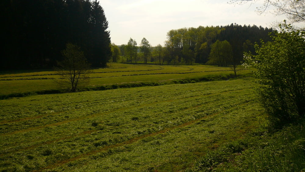
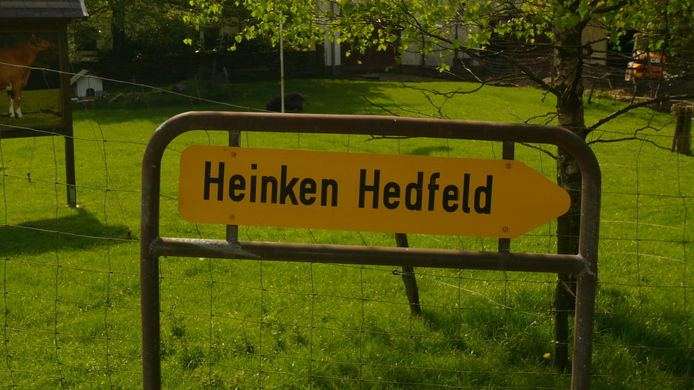
Start in der Falkenstraße, ich will zum Wochenmarkt, um meinen traditionellen Backfisch zu essen. Aber davor ist erst mal für eine kleine Tour das Bike gefragt. Über den Langenscheid und den Königsberger Weg hinunter auf die L 528 und weiter nach Löhbach bis Auf den Kuhlen. Dann hoch nach Lingensiepen und Brenscheid und weiter wieder hinunter nach Nordeln ins Ennepetal. Hier bis nach Ennepe und weiter und weiter Ri. Stenkenberg. Vor Stenkenberg nach re. hoch zur Straße Anschlag - Schwenke. Nach li. bis Birkenbaum und dann weiter nach Heinken Hedfeld. Wieder hoch zur Straße und weiter Ri. Anschlag. Über den Radweg nach Halver und die Frankfurter Straße. Und hier gab`s den BACKFISCH mit Dillsauce. Super.
Galeria trasy


Mapa trasy i profil wysokości
Minimum height 322 m
Maximum height 431 m
More about the tour author
|
|
neuser |
Komentarze

GPS tracks
Trackpoints-
GPX / Garmin Map Source (gpx) download
-
TCX / Garmin Training Center® (tcx) download
-
CRS / Garmin Training Center® (crs) download
-
Google Earth (kml) download
-
G7ToWin (g7t) download
-
TTQV (trk) download
-
Overlay (ovl) download
-
Fugawi (txt) download
-
Kompass (DAV) Track (tk) download
-
Karta trasy (pdf) download
-
Original file of the author (gpx) download
More about the tour author
|
|
neuser |
Add to my favorites
Remove from my favorites
Edit tags
Open track
My score
Rate