


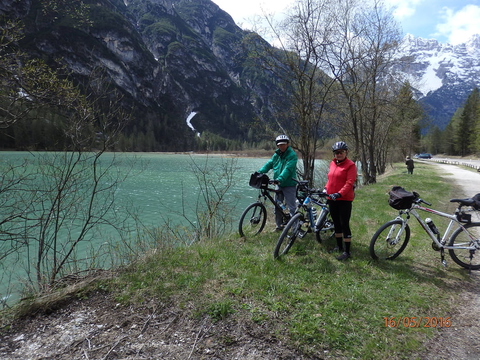
Über den Dolomitenradweg Ciclovia dei Fiumi Del Triveneto ( unser Ausgangspunkt war das Hotel Villa Argentina 300 Meter über Cortina) - Cortina 1250m - auf einer aufgelassenen Bahnstrecke mit gleichmässiger Steigung und herrlicher Aussicht auf die Passhöhe Cima Banche (1540m) mit 2 Tunnels, davon der längere beleuchtet. Zeit von Cortina bis hier 2 Stunden, 30 Minuten. Der Schotterweg ist bis hier gut befestigt und gut zu fahren. Im Scheitelbereich bis zum Dürrensee ist der Schotter gröber, man muss sehr aufpassen. Ab dem Dürrensee bis nach Toblach hinunter wieder gut befestigter Weg. Der GPS-Empfang auf dieser Strecke fiel mehrmals kurz aus wegen der steilen Felswände. Von Toblach ist der Pustertaler Radweg hinunter nach Bruneck teils asphaltiert, teils gut befestigt.
Galeria trasy


Mapa trasy i profil wysokości
Minimum height 828 m
Maximum height 1543 m
More about the tour author
|
|
walderich |
Komentarze

GPS tracks
Trackpoints-
GPX / Garmin Map Source (gpx) download
-
TCX / Garmin Training Center® (tcx) download
-
CRS / Garmin Training Center® (crs) download
-
Google Earth (kml) download
-
G7ToWin (g7t) download
-
TTQV (trk) download
-
Overlay (ovl) download
-
Fugawi (txt) download
-
Kompass (DAV) Track (tk) download
-
Karta trasy (pdf) download
-
Original file of the author (gpx) download
More about the tour author
|
|
walderich |
Add to my favorites
Remove from my favorites
Edit tags
Open track
My score
Rate