Login

Zapomniałeś swój login?

Cookies have to be accepted!
Your browser's cookie functionality is disabled. Please enable this functionality.

Not a member yet?

Register now
Login

Available for registred users only

Log in to use this feature.

Zapomniałeś swój login?

Cookies have to be accepted!
Your browser's cookie functionality is disabled. Please enable this functionality.

Not a member yet?

Register now
Filter
Kategorie
Advanced filters
  • Długość (km)
  • Wysokość
Zapisz filtr Reset filter

TrackRank

QRCode

Technical data

Długość82,1 km Wysokość366 m Way down389 m Czas trwania06:30 h:m Data27.05.2016
Oceny Author Krajobraz Czynnik zadowolenia Kondycja Technika

Statystyka

164 Widoki Oceny 22 Downloads / Pliki do pobrania Przeciętnie
Rate
  • Karta trasy
  • Dojazd
  • Downloads / Pliki do pobrania
lockere Tour über Besigheim, Lauffen am Neckar, Heilbronn, Übernachtung in Gundelheim, durch den Odenwald nach Eberbach, vorbei an Campingplätzen, schönen Schlösser und modernen Brücken
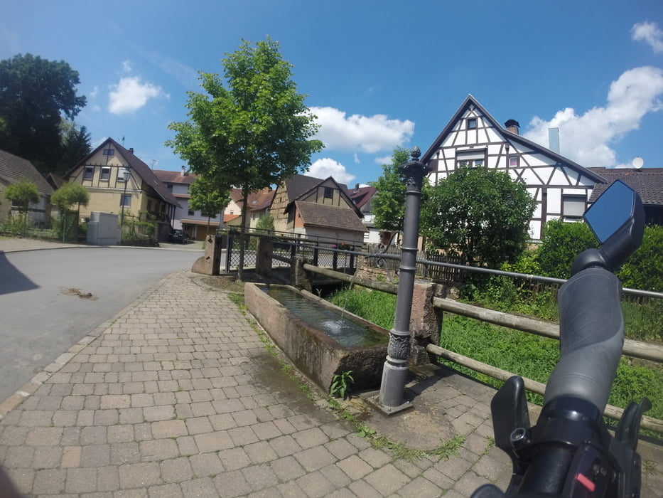
Galeria trasy

Mapa trasy i profil wysokości

  • Open Street Map
  • Google
Minimum height 132 m Maximum height 230 m Widok szczegółowy

More about the tour author

Biker82
Member since 2010

Send private message

Komentarze

- Bahnhof Besigheim

- Bahnhof Eberbach


GPS tracks

Trackpoints
  • GPX / Garmin Map Source (gpx) download
  • TCX / Garmin Training Center® (tcx) download
  • CRS / Garmin Training Center® (crs) download
  • Google Earth (kml) download
  • G7ToWin (g7t) download
  • TTQV (trk) download
  • Overlay (ovl) download
  • Fugawi (txt) download
  • Kompass (DAV) Track (tk) download
  • Karta trasy (pdf) download
  • Original file of the author (gpx) download

More about the tour author

Biker82
Member since 2010

Send private message
Share track
Add to my favorites
Remove from my favorites
Edit tags
My score
Rate
Trasa: Unterer Neckartalradweg
Rodzaj: Trasy rowerowe
Długość: 82,1 km
Evaluated on:
Czas trwania:
Day(s)
Hour(s)
Minute(s)
Ocena: Krajobraz Czynnik zadowolenia Kondycja Technika