Login

Zapomniałeś swój login?

Cookies have to be accepted!
Your browser's cookie functionality is disabled. Please enable this functionality.

Not a member yet?

Register now
Login

Available for registred users only

Log in to use this feature.

Zapomniałeś swój login?

Cookies have to be accepted!
Your browser's cookie functionality is disabled. Please enable this functionality.

Not a member yet?

Register now
Filter
Kategorie
Advanced filters
  • Długość (km)
  • Wysokość
Zapisz filtr Reset filter

TrackRank

QRCode

Technical data

Długość24,5 km Wysokość792 m Way down908 m Czas trwania06:30 h:m Data02.06.2016
Oceny Author Krajobraz Czynnik zadowolenia Kondycja Technika

Statystyka

517 Widoki Oceny 20 Downloads / Pliki do pobrania Przeciętnie
Rate
  • Karta trasy
  • Dojazd
  • Downloads / Pliki do pobrania
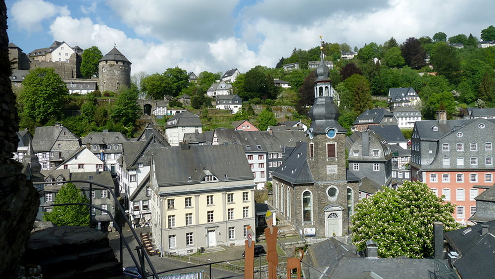
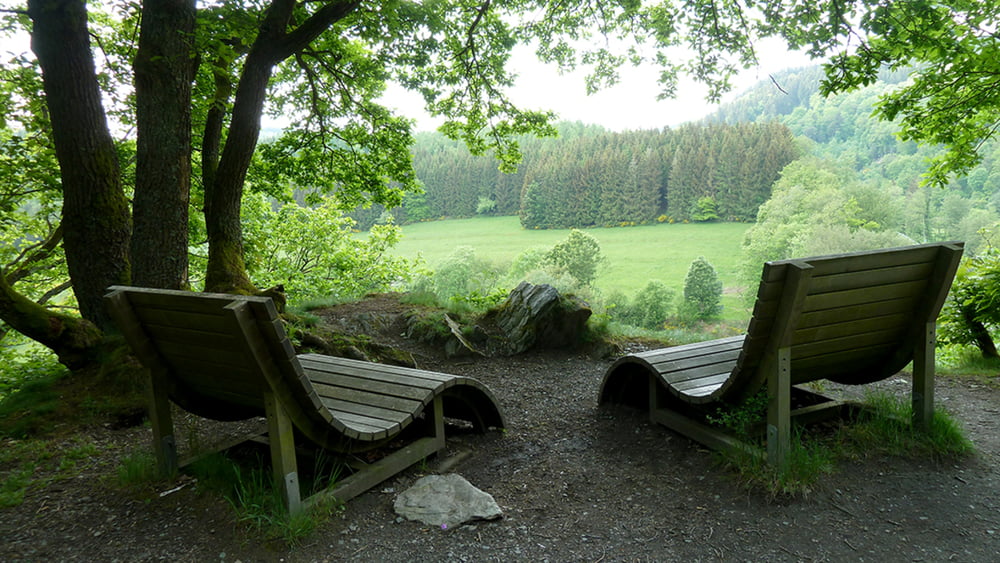
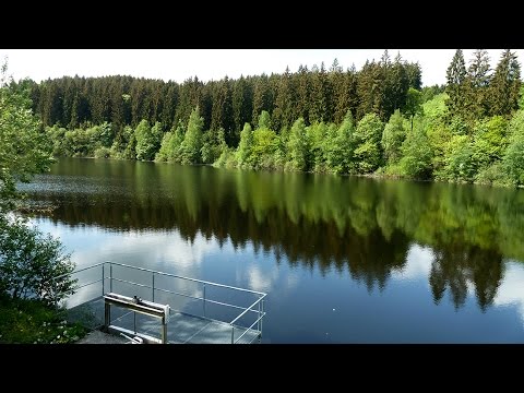
Es geht hinauf und hinab, auf hohe Bergkuppen, durch tiefe Täler, entlang hochgewachsener Hecken oder durch die offene Landschaft – auf dieser Etappe wird pure Abwechslung geboten. Längere Anstiege werden mit grandiosen Ausblicken belohnt, ob Anfangs auf das mittelalterliche Monschau oder zum Ende der Wandertour über das Rurtal bis nach Einruhr. Viele Einkehrmöglichkeiten zwischendurch sorgen für die nötige Stärkung und wer mag, gönnt sich nach der Wanderung eine Schifffahrt auf dem Rursee.
 

Galeria trasy

Mapa trasy i profil wysokości

  • Open Street Map
  • Google
Minimum height 280 m Maximum height 550 m Widok szczegółowy

More about the tour author

schleidy
Member since 2013

Send private message

Komentarze

GPS tracks

Trackpoints
  • GPX / Garmin Map Source (gpx) download
  • TCX / Garmin Training Center® (tcx) download
  • CRS / Garmin Training Center® (crs) download
  • Google Earth (kml) download
  • G7ToWin (g7t) download
  • TTQV (trk) download
  • Overlay (ovl) download
  • Fugawi (txt) download
  • Kompass (DAV) Track (tk) download
  • Karta trasy (pdf) download
  • Original file of the author (gpx) download

More about the tour author

schleidy
Member since 2013

Send private message
Share track
Add to my favorites
Remove from my favorites
Edit tags
My score
Rate
Trasa: Der Eifelsteig, 3. Etappe Monschau-Einruhr
Rodzaj: Wędrówki
Długość: 24,5 km
Evaluated on:
Czas trwania:
Day(s)
Hour(s)
Minute(s)
Ocena: Krajobraz Czynnik zadowolenia Kondycja Technika